What is recorded here
The following description is derived from both the published 'Archaeological Inventory of County Louth' (Dublin: Stationery Office, 1986) and the 'Archaeological Survey of County Louth' (Dublin: Stationery Office, 1991). In certain instances the entries have been revised and updated in the light of recent research.
Date of upload/revision: 17 July 2007
Excavated in 1980 (Manning 1986) as part of a group of monuments (see also LH017-054001-, LH017-054002-, LH017-054003-, LH017-054004- and LH017-054005-). Cemetery (12m E-W and 20m N-S) was located near the centre of a large enclosure (LH017-054003-) which measured c. 100m E-W by 40m N-S. (Manning 1986, fig 3, ditch 3). It consisted of over 50 graves lined and covered with slabs of stone. The human remains were badly preserved and in some instances there were none. There were various phases of burial, the later ones being seen to cut into and partially destroy earlier ones. (Manning 1986, 181)
The monument record does not grant public access. Check the route and ask the landowner before entering private land.
- What survives
- Recorded monument
Places near here
 Enclosure in MillockstownEnclosure · 31 yd
 Fairy fort / earthen ringfort in MillockstownFairy fort / earthen ringfort · 557 yd
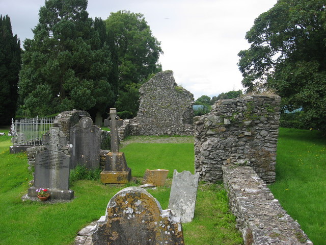 Kildemock Church (in ruins)Church · 1254 yd
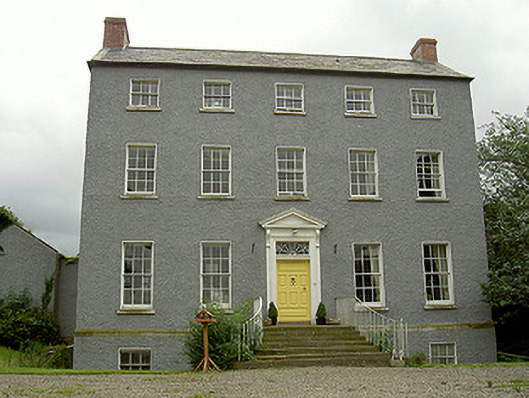 Kildemock Houserectory/glebe/vicarage/curate's house · 1370 yd
 Not idicatatedCastle, unclassified · 1.5 mi
 Graveyard in StickillinGraveyard · 2.1 mi
 Dawsons MoatCastle, motte and bailey · 2.1 mi
 European White ElmEuropean White Elm · 2.4 mi
 Mount OrielMountain / peak · 2.5 mi
 Rathescar Lakeside WalkWood · 3.0 mi
 Graveyard in Richardstown (ardee By., Richardstown Par.)Graveyard · 3.0 mi
 Black HillMountain / peak · 3.5 mi