What is recorded here
On a natural terrace on a SE facing slope in undulating terrain with ground falling beyond the burial ground to the S. Irregular-shaped enclosure (diam. 25m NE-SW; 43m NW-SE) enclosed by a broad, flattened, stoney bank (Wth 3.5m top; 9.2m base; H above int. 0.25m; H above ext. 0.67m) and a V-shaped fosse (Wth 3.8m; D 1.6m) uncovered during archaeological testing (05E1091). During the course of this testing 3/4 burials were uncovered, including two children and at least 1 adult, of which two partial articulated skeletons were roughly aligned E-W suggesting an Early Medieval date for the enclosure. A tree-ring is located immediately W of the burial ground. There is a suggestion of an other bank c. 16m S and SW of the burial ground and this possible outer bank appears to continue within the interior of the tree-ring. However, the area between the possible outer bank and the burial ground appears quite disturbed, possibly as a result of localised quarrying and the bank may be associated with landscaping on Marlfield demesne.
Compiled by: Jean Farrelly
Date of upload: 24 February 2014
A Neolithic burial enclosure, likely dating to the 4th–3rd millennium BCE; its stoney bank suggests ritual or funerary use, though specific tomb type within remains unidentified. Its location on a prominent terrace indicates possible ceremonial significance in the landscape.
The monument record does not grant public access. Check the route and ask the landowner before entering private land.
- What survives
- Recorded monument
Places near here
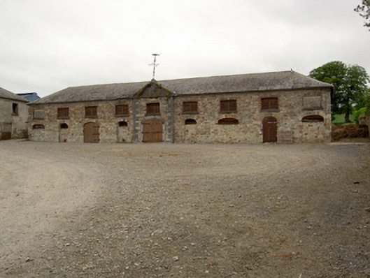 Marlfield Farmfarmyard complex · 504 yd
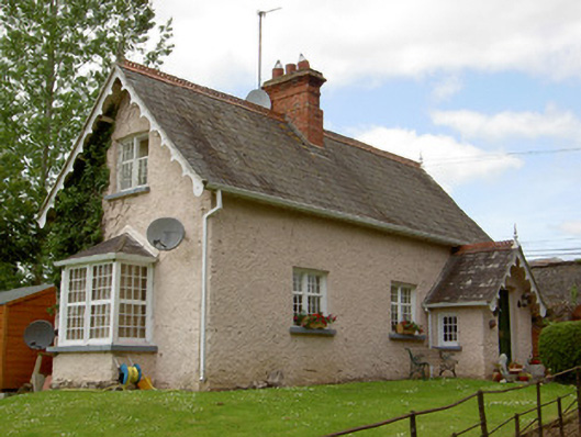 Marlfield Housegate lodge · 530 yd
 CastleCastle, ringwork · 595 yd
 American SweetgumAmerican Sweetgum · 669 yd
 European ashEuropean ash · 676 yd
 Enclosure in Barn Demesne (inishlounaght Par.)Enclosure · 1143 yd
 Crusader's GraveHeritage attraction · 1361 yd
 Patricks WellHoly well · 1363 yd
 Kilmacomma HillMountain / peak · 1.3 mi
 Greenan Castle (in Ruins)House, fortified house · 1.4 mi
 Toberaheena WellSpring · 1.6 mi
 Siege of Clonmelsiege · 2.1 mi