What is recorded here
Lipstown Lower holds two hidden circles, one inside the other, marked only by shadow in the crops and a lone granite cross. Local story claims the inner ground received victims of the battle of Kilrush in 1642, yet no wall or boundary remains for a hand to touch. The field refuses cultivation around that spot, as if the dead still occupy the measure of the ground they took.
According to Fitzgerald (1912-4, 262-4), a plain granite cross (KD032-030001-) stood, ‘… on the summit of high ground in a square unenclosed plot, measuring about 50 yards [c. 46m] each way, which is never tilled like the rest of the field. This plot is probably the site of a long-forgotten burial-ground , skulls and bones have been turned up close by.’ According to local tradition, it was the burial place of victims of the battle of Kilrush (1642), but the ‘unenclosed plot’ could not be identified in 1959 (SMR file). Aerial photographic evidence indicates that the cross stands in the S quadrant of a small circular enclosure (approx. diam. 37m) which lies in N quadrant of a larger ecclesiastical enclosure (KD032-030003-) the cropmarks of which are clearly visible on Digital Globe aerial photographs. The small circular enclosure may represent the enclosing element of a small burial ground (KD032-030001-). The linear cropmark of a possible roadway running E-W into the outer enclosure is visible at NW quadrant.
See attached image of Google Earth photographs taken 28/06/2018 which shows cropmark of the two circular enclosures based on information supplied by Anthony Murphy
Compiled by: Gearóid Conroy
Revised by: Caimin O'Brien
Date of revised upload: 19 February 2019
The monument record does not grant public access. Check the route and ask the landowner before entering private land.
- What survives
- Recorded monument
Places near here
 CrossCross · 4 yd
 Narraghmore Nature ReserveForest · 574 yd
 RathglassEnclosure · 1269 yd
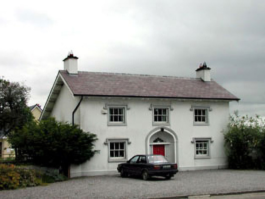 surgery/clinicsurgery/clinic · 1457 yd
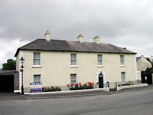 Historic buildingOfficially recorded historic building · 1464 yd
 Blackhall CastleCastle, tower house · 1.0 mi
 Narraghmore WoodWood · 1.5 mi
 Battle of Kilrushbattle · 2.4 mi
 Castle (in Ruins)House, fortified house · 2.6 mi
 Burtown House and GardensHeritage attraction · 4.4 mi
 Gorden Bennet Race memorialMemorial · 4.7 mi
 History of Moat of ArdscullVisitor information · 4.7 mi