What is recorded here
Knockyrourke holds a burial ground hidden beside the kill road, though no grave markers break the soil today. Cremen wrote in 1909 about an ancient keel with miniature mounds and flagged graves, but it is still unclear whether he described this spot or a neighbouring site. The dead may still rest beneath ordinary ground, waiting for someone to stop walking and listen for the shape of what is missing.
According to local information, Y-junction in road known as "the kill". No surface evidence of burials. Cremen (1909, 54) referred to '...ancient keel which abuts on the roadway...in a perfect state of preservation...with its miniature mounds and flagged graves....'. Unclear whether reference is to this site or another burial ground (CO050-089----) in this townland.
The above description is derived from the published 'Archaeological Inventory of County Cork. Volume 3: Mid Cork' (Dublin: Stationery Office, 1997). In certain instances the entries have been revised and updated in the light of recent research.
Date of upload/revision: 14 January 2009
The monument record does not grant public access. Check the route and ask the landowner before entering private land.
- What survives
- Recorded monument
Places near here
 monumentmonument · 762 yd
 Man-made underground passage in Gowlane SouthMan-made underground passage · 792 yd
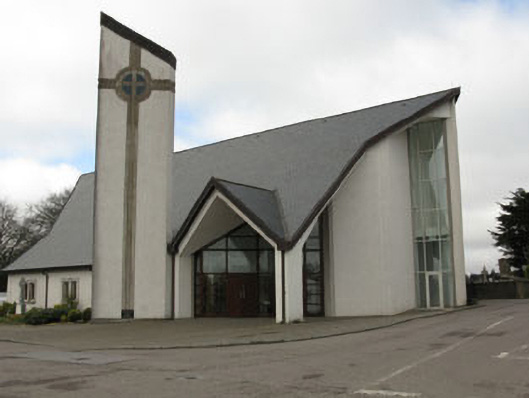 church/chapelchurch/chapel · 824 yd
 Grave YardGraveyard · 999 yd
 New TipperaryVisitor information · 1138 yd
 Saint Bartholomew's WellSpring · 1.7 mi
 Ballyvodane Castle (in Ruins)Castle, unclassified · 3.2 mi
 Oldcastle WoodWood · 3.6 mi
 Carrignamuck Tower HouseCastle · 4.8 mi
 Lyradane MountainMountain / peak · 4.9 mi
 Knockduff Wind FarmVisitor information · 5.0 mi
 Bweeng LittleMountain / peak · 5.1 mi