What is recorded here
This monument was identified through archaeological monitoring (Licence no. 04E0969) of topsoil stripping for services. Subsequent geophysical survey (Licence no. 05R030Ext) revealed a series of enclosures and anomalies encompassing an area (dims 300m N-S; 130m E-W). Aligned E-W, a total of four burials and six lintel burials were identified within an area (dims c. 25m N-S x 10m E-W), the exposed width of the haul road. They were enclosed by an inner enclosure (22m diam.) ditch. On the basis of the recovery of a ringed polyhedral-headed pin it can be concluded that the site was active in the 10th century A.D. (although both earlier and later usage cannot of course be precluded) (Baker 2009, 28). Preserved in situ adjacent to a golf course.
Compiled by: Christine Baker
Date of upload: 22 February 2015
The monument record does not grant public access. Check the route and ask the landowner before entering private land.
- What survives
- Recorded monument
Places near here
 Enclosure in KilleenEnclosure · 10 yd
 Fairy fort / ringfort in KilleenFairy fort / ringfort · 222 yd
 AbbeyChurch · 843 yd
 Killeen CastleCastle, tower house · 903 yd
 Laurel WoodsWood · 1497 yd
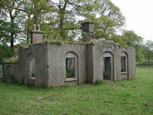 Dunsany Castlegate lodge · 1.0 mi
 Belpere WoodWood · 1.0 mi
 Battle of Tara Hillbattle · 2.5 mi
 Battle of Tara (Ireland)Major battlefield · 2.5 mi
 Tara Open StudioGallery · 2.7 mi
 Saint Patrick'sMemorial · 2.8 mi
 Hill of TaraVisitor information · 2.8 mi