What is recorded here
Kilbane’s burial ground hides beneath woodland on a gentle slope beside the Groody River, preserving a subrectangular enclosure marked in 1938. Near it, Mary Magdalene’s Well and shallow charcoal pits suggest that people once burned, buried or remembered others where the land still keeps its dark sweetness.
In woodland, on a gentle SW-facing slope, c. 25m to E of Groody Road and c. 70m to E of the Groody River. Mary Magdalene’s Well (LI005-034001-) is located within. Depicted on the revised 1938 ed. OS 25-inch map as a subrectangular-shaped enclosure (approx.12m NW-SE; 9.5m NE-SW). Obscured by tree cover on Digital Globe orthophotos taken 2011-13 and Google Earth orthoimage taken 02/07/2018.
An excavation was carried out on a site consisting of two small pits and a small charcoal-rich deposit in the townland of Kilbane in November 2002. These features were uncovered during monitoring by Tracy Collins of topsoil-stripping along the line of a drainage wayleave in this area (No. 1183 above, 02E1615). The two pits were 100m apart, and the small deposit was 7m to the north-east of the southern pit. All of these features were uncovered on the surface of the boulder clay. The northern pit was subrectangular, measuring 1m by 0.7m, and was 0.1m deep. The boulder clay at the sides and base of the pit was oxidised to a bright red, indicating that it was associated with in situ burning. The black, charcoal-rich fill contained a few tiny fragments of burnt bone but no artefacts. The southern pit appeared to have been truncated; it was 0.3m in diameter and 0.05m deep. The charcoal-rich fill contained a number of small fragments of metal slag, but there was no evidence of in situ burning, and the feature contained no artefacts. The shallow deposit was 0.3m in diameter and 0.02m deep and consisted of a black, charcoal-rich soil, which may form the remains of the basal part of a truncated pit feature. The forthcoming identification and dating of the charcoal and burnt bone samples recovered from these features will allow a fuller interpretation of their date and function.
See attached Google Earth orthoimage.
Compiled by: Alison McQueen and Vera Rahilly
Date of upload: 22 June 2020
The monument record does not grant public access. Check the route and ask the landowner before entering private land.
- What survives
- Recorded monument
Places near here
 Mary Magdalenes WellHoly well · 2 yd
 Ballysimon MillsWater mill, vertical-wheeled · 683 yd
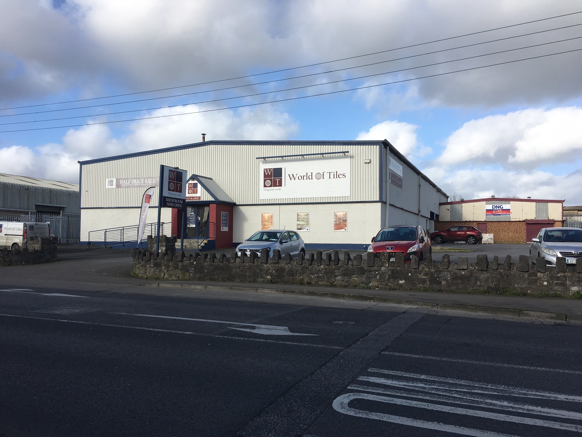 Enclosure in BallysimonEnclosure · 782 yd
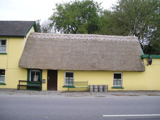 Ó Séaghdhahouse · 989 yd
 New CastleCastle · 1395 yd
 University of Limerick FlagpostsHeritage attraction · 1745 yd
 Campus MapVisitor information · 1.3 mi
 Visitor CentreVisitor information · 1.3 mi
 Fountain SculptureHeritage attraction · 1.3 mi
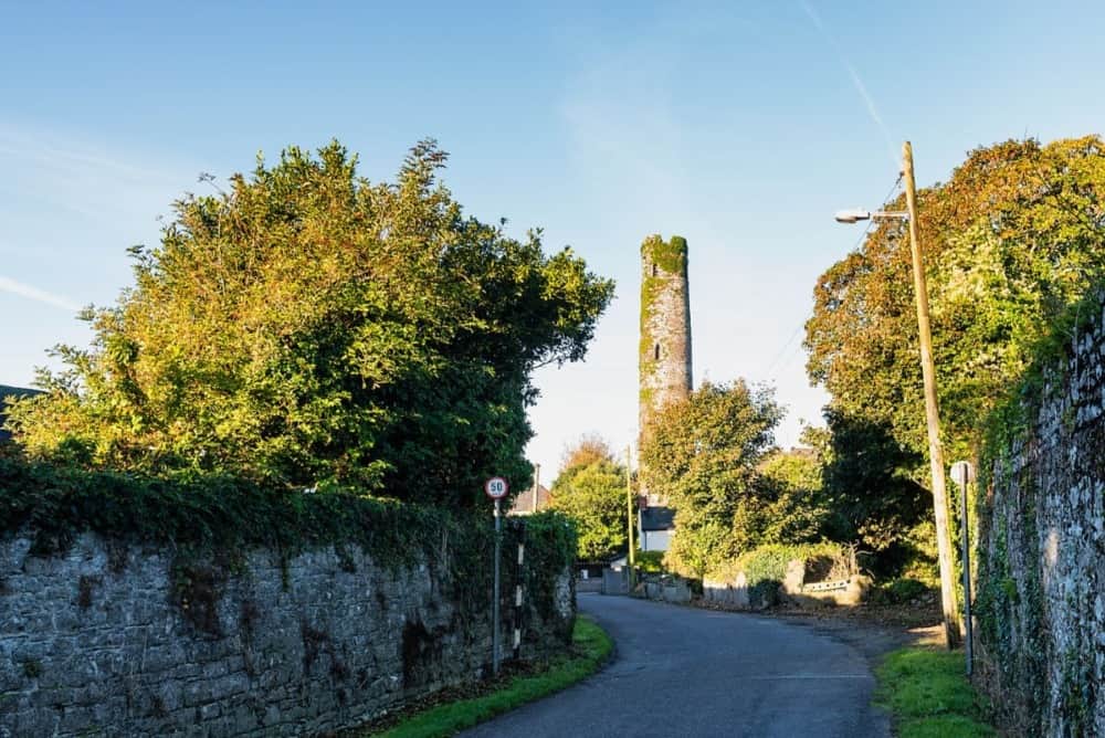 Round Tower (Site of)Castle, tower house · 1.3 mi
 St. Patrick's WellSpring · 1.4 mi
 Lough Derg WayWalking route · 1.7 mi