
What is recorded here
Quaker bones may still lie hidden beneath the pasture on the southeast-facing slope, remembered only through local tradition rather than visible stones or marked graves. The field keeps its secret away from busy roads and modern eyes, inviting wonder about the people who chose that quiet place for death.
In pasture on SE-facing slope. Field traditionally known as "Quaker's burial ground". No visible surface trace.
The above description is derived from the published 'Archaeological Inventory of County Cork. Volume 1: West Cork' (Dublin: Stationery Office, 1992). In certain instances the entries have been revised and updated in the light of recent research.
Date of upload/revision: 14 January 2009
The monument record does not grant public access. Check the route and ask the landowner before entering private land.
- What survives
- Recorded monument
Places near here
 Hill Cottagehouse · 81 yd
 vent pipevent pipe · 94 yd
 Cathal Hurley MemorialMemorial · 211 yd
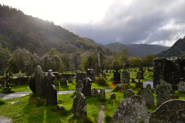 Graveyard in GullyGraveyard · 307 yd
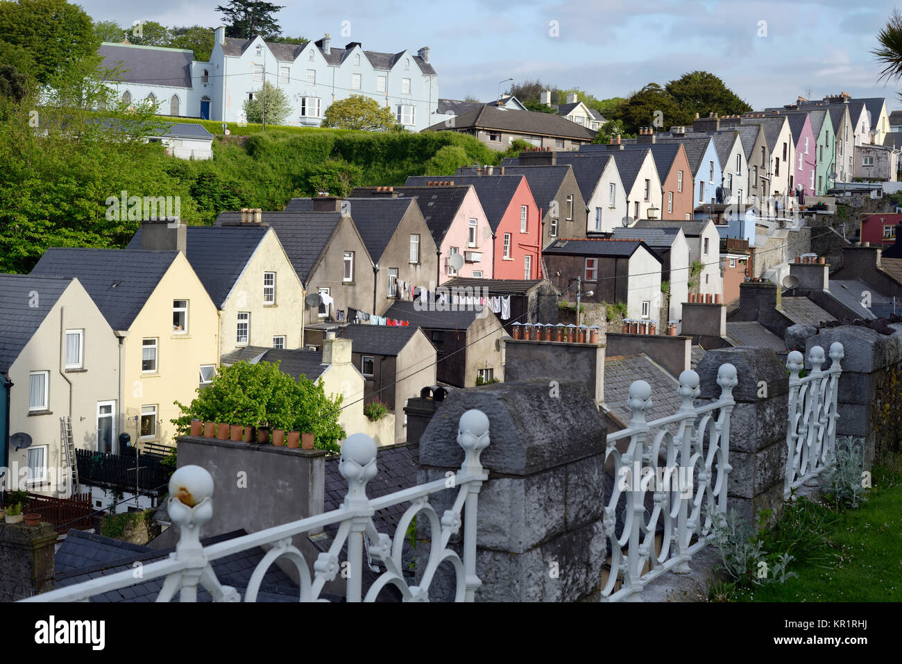 Town defences in GullyTown defences · 393 yd
 CrossCross, Market cross · 711 yd
 Carbury's WellSpring · 1.2 mi
 Cottage Road WoodWood · 1.5 mi
 Roche's WoodWood · 2.5 mi
 Marie LouiseWreck · 4.6 mi
 Carrighnassig Castle (Site of)Castle, unclassified · 4.6 mi
 Shippool CastleCastle · 5.0 mi
Other information
Photo: Credit not shown in the picture search · Rights wording not checked; contact us if this picture should be removed