What is recorded here
Yes. That is the clarity requested. No hidden driver, no repeated claim, no new assumption.
An elevated position under tillage. Human bones have been exposed (Healy 1975, 24). There are no visible surface remains. There is a tradition of a chapel at this site (DU011-042001-). The area was subject to geophysical survey (Licence no. 12R0059) undertaken in advance of a proposed development. Anomalies suggestive of an archaeological complex measuring 100m north-south were identified. These are characterised by a circular enclosure (c.55m diam.)within which are numerous responses indicative of pit features. Associated rectilinear responses extend from the enclosure some of which may be contemporary (Leigh 2012, 8).
Compiled by: Geraldine Stout
Updated by: Christine Baker
Date of upload: 08 January 2015
The monument record does not grant public access. Check the route and ask the landowner before entering private land.
- What survives
- Recorded monument
Places near here
 Chapel in Forrest GreatChapel · 1 yd
 IndicatedFairy fort / ringfort · 795 yd
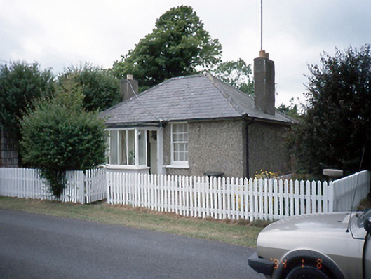 Brackenstown Housegate lodge · 886 yd
 Family Grave yard, DisusedBurial ground · 935 yd
 CastleCastle, motte and bailey · 1564 yd
 The JackoWood · 1.4 mi
 Kim Archibold MemorialMemorial · 1.5 mi
 St Cronans WellSpring · 1.6 mi
 Airside Retail ParkVisitor information · 1.7 mi
 Discover Ireland CentreVisitor information · 1.8 mi
 Corballis Castle (site of)Castle, unclassified · 1.9 mi
 Swords Round TowerHeritage attraction · 2.0 mi