What is recorded here
Situated on a gentle W-facing slope with a N-S stream c. 70m to the W. This is a slightly raised rectangular grass-covered area (dims. 22m N-S; 17m E-W; H 0.3-0.6m) with a local tradition of use as a graveyard. There is no visible evidence of burial. Dungulph castle (WX045-041----) is c. 100m to the N.
The above description is derived from the published 'Archaeological Inventory of County Wexford' (Dublin: Stationery Office, 1996). In certain instances the entries have been revised and updated in the light of recent research.
Compiled by: Michael Moore
Date of upload/revision: 22 July 2013
The monument record does not grant public access. Check the route and ask the landowner before entering private land.
- What survives
- Recorded monument
Places near here
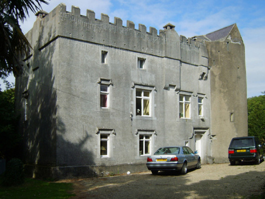 Dungulph Castlecastle/fortified house · 135 yd
 mill (water)mill (water) · 495 yd
 Enclosure in Ballygow (shelburne By.)Enclosure · 688 yd
 Marys WellHoly well · 783 yd
 Site of CastleCastle, unclassified · 1.3 mi
 AshgroveVisitor information · 1.5 mi
 Grange BeachBeach / strand · 1.6 mi
 CastleCastle, motte · 1.6 mi
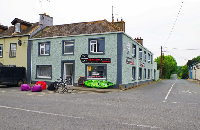 Hook Tourism (Fethard Office)Visitor information · 1.7 mi
 1798Memorial · 1.9 mi
 Saltmills Explosion MemorialMemorial · 2.0 mi
 Booley Bay BeachBeach / strand · 2.1 mi