What is recorded here
Death and memory belong to every human region. You can still see the place where people lived, loved, failed and vanished. That is why this request exists.
Hachured as circular platform on 1842 and 1902 OS 6-inch maps. In level tillage, on N-facing slope. Raised roughly circular area (H 0.9m; 8m N-S; 10m E-W) externally faced with stone. Field stones dumped in interior. Known locally as burial ground.
The above description is derived from the published 'Archaeological Inventory of County Cork. Volume 3: Mid Cork' (Dublin: Stationery Office, 1997). In certain instances the entries have been revised and updated in the light of recent research.
Date of upload/revision: 14 January 2009
Neolithic passage tomb, dating to approximately 3500–2500 BCE. Its construction and positioning suggest a ceremonial or funerary function within a prehistoric landscape.
The monument record does not grant public access. Check the route and ask the landowner before entering private land.
- What survives
- Recorded monument
Places near here
 Giants GraveWedge tomb · 242 yd
 Killeen Burial Ground (Disused)Burial ground · 490 yd
 CarriganineMountain / peak · 1.2 mi
 Shehy MoreMountain / peak · 1.6 mi
 Stepping StonesClapper bridge · 2.5 mi
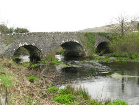 Inchinossig Bridgebridge · 2.5 mi
 Gortnahoughtee Mass RockNamed rock · 3.1 mi
 Gougane BarraValley and heritage place · 4.1 mi
 European ashEuropean ash · 4.2 mi
 Togher CastleCastle, tower house · 4.4 mi
 St Finbarr's Pilgrim RouteWalking route · 5.4 mi
 Sli Gaeltacht MuscraiWalking route · 6.5 mi