What is recorded here
The following description is derived from both the published 'Archaeological Inventory of County Louth' (Dublin: Stationery Office, 1986) and the 'Archaeological Survey of County Louth' (Dublin: Stationery Office, 1991). In certain instances the entries have been revised and updated in the light of recent research.
Date of upload/revision: 17 July 2007
Low, slightly raised rectangular mound (max. dims. 15m E-W, 14m N-S) with many loose stones strewn about. Near NW edge of mound is an elongated boulder with a simple inscribed cross (LH014-040002-). Local tradition of a graveyard and of unbaptised being buried here.
The monument record does not grant public access. Check the route and ask the landowner before entering private land.
- What survives
- Recorded monument
Places near here
 Man-made underground passage in CooleMan-made underground passage · 541 yd
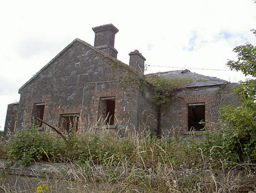 Stormanstown National Schoolschool · 1463 yd
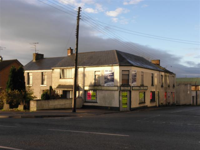 Enclosure in CookstownEnclosure · 1.2 mi
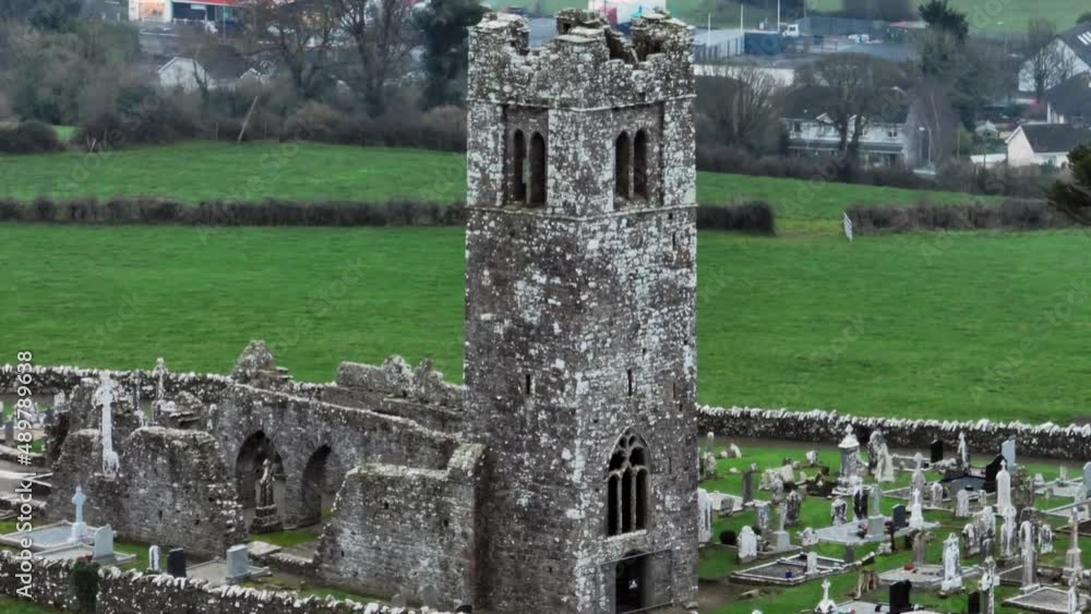 Church (in ruins)Church · 1.3 mi
 Site of Mullanstown CastleCastle, unclassified · 1.4 mi
 Site of Cookstown CastleCastle, unclassified · 1.4 mi
 Yellow HillMountain / peak · 1.6 mi
 English hollyEnglish holly · 2.0 mi
 European BeechEuropean Beech · 2.0 mi
 Sir Frederick Foster MemorialMemorial · 2.2 mi
 Matthew's HillMountain / peak · 2.2 mi
 Graveyard in StickillinGraveyard · 3.7 mi