What is recorded here
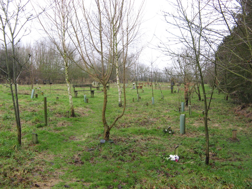
Caherdesert in County Cork, Ireland holds a burial ground hidden beneath pasture on a south-facing slope. Local tradition remembers the graveyard though no grave, marker or trench remains visible. The land may have swallowed its own history, leaving only the shape of the hill and the certainty of people who walked there before forgetting began.
In pasture on S-facing slope. Local tradition of graveyard here. No visible surface trace. (UCC)
The above description is derived from the published 'Archaeological Inventory of County Cork. Volume 2: East and South Cork' (Dublin: Stationery Office, 1994). In certain instances the entries have been revised and updated in the light of recent research.
Date of upload/revision: 14 January 2009
The monument record does not grant public access. Check the route and ask the landowner before entering private land.
- What survives
- Recorded monument
Places near here
 KnockauncarraghMound · 323 yd
 Man-made underground passageMan-made underground passage · 361 yd
 IndicatedKiln, lime · 484 yd
 Desert Church (in Ruins)Church · 1080 yd
 Rathcormac massacremassacre · 1.9 mi
 Court (site of )Castle, unclassified · 2.0 mi
 Monananig WoodsWood · 2.3 mi
 Devonshire's HillMountain / peak · 2.5 mi
 Tower (in Ruins)Bawn · 2.9 mi
 Moanbaun ForestForest · 3.5 mi
 Graveyard in KillasseraghGraveyard · 4.0 mi
 Gleeson MemorialMemorial · 6.8 mi
Other information
Photo: Credit not shown in the picture search · Rights wording not checked; contact us if this picture should be removed