What is recorded here
According to John Feehan (Environmental Survey, Damer House, 1987) 'There is a field in the south west of the townland known as the Killogans. There is a bit of confusion over this area. There is a large mound covered in scrub in the north of the field which is hard to tell if it is part of an esker [or] a man made mound. It was here that Mr Gibson was bulldozing when he discovered adult skeletons. He has now a silage pit in the middle of this mound and cattle are walking on top of it and it is in an awful mess. Mr. Brophy a local man claims that this mound is not the burial place but that the field itself was a bural place for children who died before been baptized'.
Burial ground remains unlocated within the townland.
The above description is derived from 'The Archaeological Inventory of County Tipperary. Vol. 1 - North Tipperary' compiled by Jean Farrelly and Caimin O'Brien (Dublin: Stationery Office, 2002). In certain instances the entries have been revised and updated in the light of recent research.
Date of upload/revision: 22 September 2008
The monument record does not grant public access. Check the route and ask the landowner before entering private land.
- What survives
- Recorded monument
Places near here
 Enclosure in BrickanaghEnclosure · 1302 yd
 Glenahilty National Schoolschool · 1486 yd
 CastleCastle, tower house · 1612 yd
 Enclosure in Emmel WestEnclosure · 1665 yd
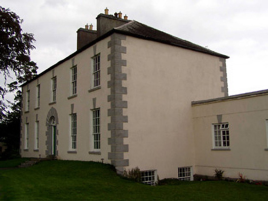 Coolnamunna Housecountry house · 1711 yd
 Ballycapple WoodForest · 1.3 mi
 Thomas MacDonagh Heritage CentreMuseum · 1.9 mi
 MacDonagh HouseMemorial · 1.9 mi
 Castle in ruinsCastle, unclassified · 2.4 mi
 Knockanacree WoodForest · 2.8 mi
 James Devaney MemorialMemorial · 3.3 mi
 Gibbet HillMountain / peak · 7.0 mi