What is recorded here
On a gentle SE-facing slope in improved pasture. The junction of the field and lane is very overgrown. This triangular-shaped area (dims. c. 25m NE-SW along roadside; c. 18m WNW-ESE along SW boundary; c. 20m NNW-SSE) is delineated by a road running NE-SW along the E side, a stream running NW-SE along the SW side and a curving boundary connecting the two, as depicted on the 2nd (1909) ed. 6-inch OS map and on the current OSI base map. A font (WI046-001----/WI046-001001-) came to the attention of the National Museum of Ireland in 1964. It was described as ‘an old stone font which was found near an old religeen in the townland of Balisland, near Shillelagh, Co. Wicklow’ (OPW file 1964).
Compiled by: Jean Farrelly
Date of upload: 18 October 2012
The monument record does not grant public access. Check the route and ask the landowner before entering private land.
- What survives
- Recorded monument
Places near here
 Font in BalislandFont · 1 yd
 IndicatedFairy fort / earthen ringfort · 1619 yd
 Ballyknocker WoodWood · 1.5 mi
 Site of Fever HospitalRuins · 1.6 mi
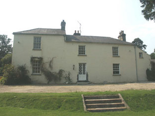 The Old Rectoryrectory/glebe/vicarage/curate's house · 1.6 mi
 Cork oakCork oak · 1.9 mi
 Ballynultagh HillMountain / peak · 3.2 mi
 Clonogan Castle (site of)Castle, unclassified · 3.6 mi
 Gibbet HillMountain / peak · 4.3 mi
 Huntington Castle & GardensHeritage attraction · 4.4 mi
 CastleCastle, motte and bailey · 5.8 mi
 Barragh Church (in ruins), GraveyardChurch · 5.9 mi