What is recorded here
The Relig in Baile Na Mban is a circular burial ground marked by two concentric collapsed stone walls, with a five-metre gap between them and the northern outer section missing. It sits in poor pasture surrounded by rocky boggy land, where field clearance builders later added stones to the ancient structure. The inner wall still shows original facings and measures about 2.60 metres wide, suggesting a deliberate boundary for death rather than ordinary pasture. Local tradition identifies the site as a graveyard, giving the ruined stones a solemn purpose beneath the harsh Donegal sky.
A circular flat area (DG067-007001-) surrounded by two concentric collapsed stone walls much robbed but to which field clearance builders 'have also been added. There is a gap of c. 5m between the inner and outer walls, the N side of the latter having been removed. The original wall facings are evident in places and the estimated width of the inner wall is c. 2.60m. The site which is known locally as the 'Relig' and believed to have been a graveyard is situated in poor pasture surrounded by rocky boggy land.
The above description was derived from the 'Archaeological Survey of County Donegal. A description of the field antiquities of the County from the Mesolithic Period to the 17th century.' Compiled by: Brian Lacey with Eamon Cody, Claire Cotter, Judy Cuppage, Noel Dunne, Vincent Hurley, Celie O'Rahilly, Paul Walsh and Seán Ó Nualláin (Lifford: Donegal County Council, 1983). In certain instances the entries have been revised and updated.
Date of upload: 22 September 2008
A circular burial ground with concentric stone walls, likely dating to the Bronze Age; its dual-wall construction and robbed condition suggest a significant communal or ritual site, though specific typology remains unclear.
The monument record does not grant public access. Check the route and ask the landowner before entering private land.
- What survives
- Recorded monument
Places near here
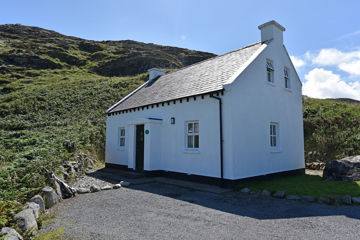 Enclosure in Ailt An TsneachtaEnclosure · 597 yd
 kilnkiln · 1.0 mi
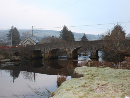 Reelan Bridgebridge · 1.5 mi
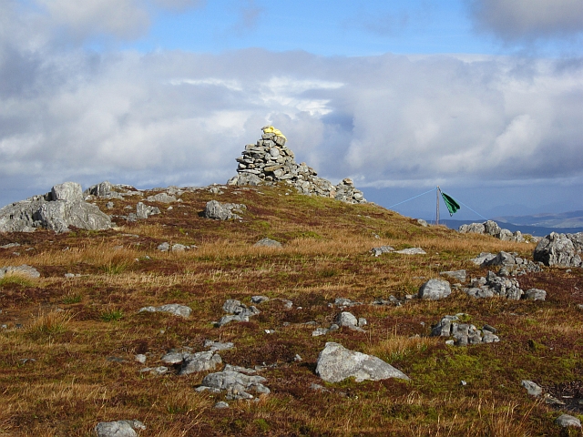 Gaugin MountainMountain / peak · 1.6 mi
 Holy WellHoly well · 1.8 mi
 AltnapasteMountain / peak · 2.9 mi
 Meenachullion Nature ReserveNational nature reserve · 7.5 mi
 Ard na Mona WoodOfficial walking route · 8.1 mi
 Drumboe WoodForest recreation place · 9.0 mi
 Dermot & Grania's BedCave · 9.1 mi
 Old CastleCastle, tower house · 9.3 mi
 Disert GraveyardGraveyard · 9.5 mi