What is recorded here
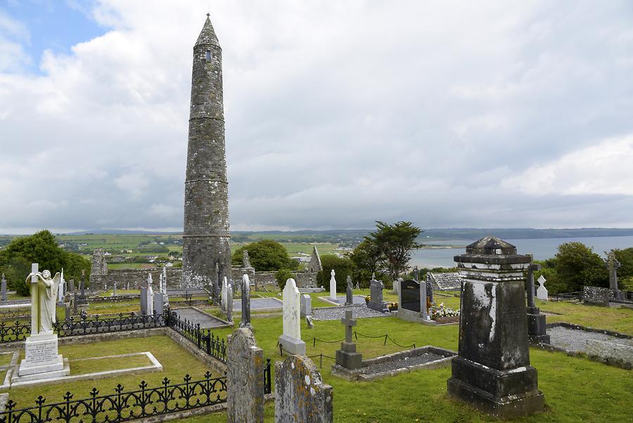
Killeenagh is a west Cork famine burial ground where hawthorn and thorny banks still mark the edge of forgotten grief. Several stone markers cluster around the tree, while low mounds and a single flat gravemarker hint at bodies the village could not afford to lose twice. The river keeps the south boundary, the thorns keep the north, and the dead remain close enough to touch in the grass.
Flat area (L c.0.8m; Wth 12m) known locally as "Killeenagh" and "Famine burial ground". Some low mounds may indicate burials. One possible gravemarker at W end of raised area (L 6m; Wth c. 0.8m; H 0.15m). (WBBS). Myler (1998, 47) records 'several stone burial markers' around a hawthorn tree on the site. He also records that the site 'runs east to west and is bounded by a thorny raised bank on the north side and the river bank to the south'.
The above description is derived from the published 'Archaeological Inventory of County Cork. Volume 1: West Cork' (Dublin: Stationery Office, 1992). In certain instances the entries have been revised and updated in the light of recent research.
Date of upload/revision: 24 January 2013
The monument record does not grant public access. Check the route and ask the landowner before entering private land.
- What survives
- Recorded monument
Places near here
 Man-made underground passage in Ards More (west)Man-made underground passage · 215 yd
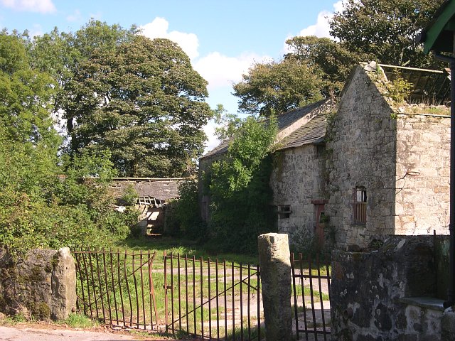 Childrens Burial Gd (Disused)Burial ground · 735 yd
 Kealkill stone circleVisitor information · 1.7 mi
 Church in InchicloghChurch · 1.8 mi
 Country house in InchicloghCountry house · 2.0 mi
 Carriganass CastleCastle · 2.3 mi
 Mullach MéiseMountain / peak · 2.4 mi
 Francis O'Neill PlaqueMemorial · 3.0 mi
 Bulls PocketMountain / peak · 3.0 mi
 St Finbarr's Pilgrim RouteWalking route · 3.0 mi
 Castle (in Ruins)House, fortified house · 3.3 mi
 Trawlebane WalkWalking route · 3.5 mi
Other information
Photo: Credit not shown in the picture search · Rights wording not checked; contact us if this picture should be removed