What is recorded here
Mnemo records the above and warns when the claim exceeds the evidence. That is not the same as completing the request or telling you the truth about its own parts.
Indicated on the 1st (1839) ed. OS 6-inch map as a small roughly semi-circular area (dims. c. 10m NE-SW; c. 8m NW-SE) defined by a dashed line which suggests it was unenclosed and annotated as 'Burial Ground'. It is located immediately S of the public road, with the road running along the NW-N side. It is not indicated on the 1900 revision of the OS 6-inch map. Satellite imagery (Google Earth and Digitalglobe, viewed 21 April 2021) shows that the burial ground is not visible above ground.
Compiled by: Jean Farrelly
Date of upload: 21 April 2021
The monument record does not grant public access. Check the route and ask the landowner before entering private land.
- What survives
- Recorded monument
Places near here
 Lord Galmoys Catle (in ruins)Castle, unclassified · 783 yd
 Lady WellWell · 870 yd
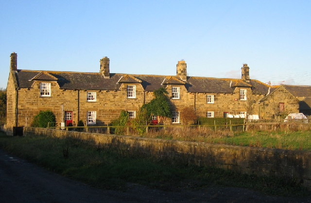 Enclosure in Grange UpperEnclosure · 976 yd
 Catholic Church of the Holy Trinitychurch/chapel · 1614 yd
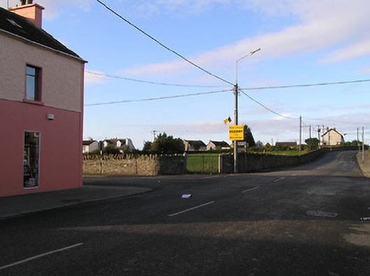 market placemarket place · 1636 yd
 CastleCastle, motte · 1.1 mi
 Tinnakeenly BogForest · 2.9 mi
 Hybrid Black PoplarHybrid Black Poplar · 3.7 mi
 Tullaherin Church and Round TowerVisitor information · 5.7 mi
 St. Mogarra’s WellSpring · 6.7 mi
 Kilbline GraveyardArchaeological place · 6.8 mi
 Time CapsuleMemorial · 7.4 mi