What is recorded here
Situated on level ground overlooking a gentle W-facing slope. Quadrangular graveyard (dims. 60m E-W; 30-40m N-S) enclosed by iron railings. The site is on a low circular platform (diam. 80m), possibly the remnant of an earlier enclosure (WI021-042003-). There is a possible font base (octagonal with circular socket and two narrow slots) (WI021-042002-) at the centre of the graveyard with a small granite pillar beside it (possibly associated). There is no visible trace of a church.
The above description is derived from the published 'Archaeological Inventory of County Wicklow' (Dublin: Stationery Office, 1997). In certain instances the entries have been revised and updated in the light of recent research.
Date of upload/revision: 17 December 2008
This monument is subject to a preservation order made under the National Monuments Acts 1930 to 2014 (PO no. 122/1940).
This remains an important historical record, but the official description says the monument is no longer visible or has been destroyed. The monument record does not grant public access. Check the route and ask the landowner before entering private land.
- What survives
- No visible remains or recorded as destroyed
Places near here
 Font in GoldenfortFont · 1 yd
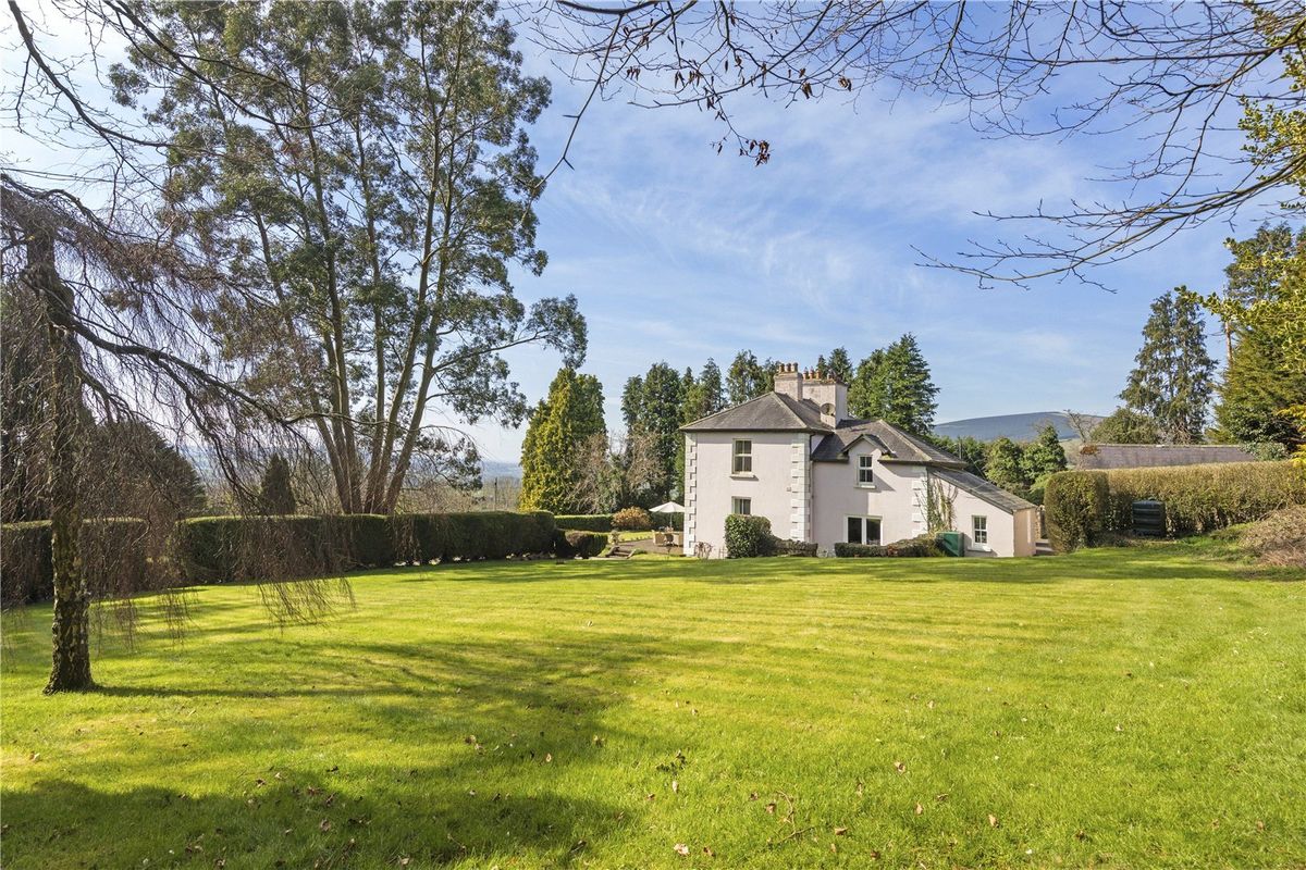 Goldenfort HouseRuins · 434 yd
 IndicatedEnclosure · 685 yd
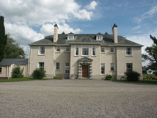 Saundersgrovecountry house · 1208 yd
 Ballyhook HillMountain / peak · 1.2 mi
 Tinoran HillMountain / peak · 1.8 mi
 Bawn in Ballintruer BegBawn · 2.5 mi
 Grangecon Castle (in ruins)Castle, tower house · 2.5 mi
 English hollyEnglish holly · 3.4 mi
 Saint Brigit's Mass StoneNamed rock · 3.7 mi
 Saint Brigit's ChairNamed rock · 3.8 mi
 Sam McAllistair GraveMemorial · 4.0 mi