What is recorded here
No wall, stone or gate marks the lost graveyard beside the Plaster marsh, yet local tradition still points to the flat field where deaths once lay beneath the soil. The land has taken back every label and boundary, leaving only memory to hold the shape of what vanished. People may have walked past rows of unmarked graves for generations before forgetting them, which is the true strangeness of the place: not that it is hidden, but that it stopped being believed.
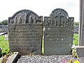
Rectangular shaped graveyard (map dims. 44m E-W; 24m N-S) with church remains in centre (LH022-002001-) and motte (LH022-003----) immediately to the S. A number of 18th century graveslabs noted to the E of the church when inspected by ASI in July 1966, the earliest of which dated to 1736 and is dedicated to Patrick Markey.
Compiled by: Claire Breen
Date of upload: 03 August 2012
The monument record does not grant public access. Check the route and ask the landowner before entering private land.
- What survives
- Recorded monument
Places near here
 Church (in ruins)Church · 10 yd
 Enclosure in MayneEnclosure · 426 yd
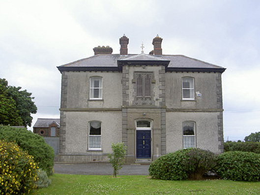 presbytery/parochial/curate's housepresbytery/parochial/curate's house · 820 yd
 Enclosure in DalesEnclosure · 980 yd
 Castle RuinsCastle, tower house · 1.4 mi
 Chapel (in Ruins), GraveyardChurch · 2.6 mi
 Termonfeckin CastleCastle · 2.8 mi
 Moneyveg WoodForest · 2.9 mi
 Graveyard in DysartGraveyard · 3.2 mi
 Sweet baySweet bay · 3.3 mi
 Tullydonnell HillMountain / peak · 4.2 mi
 MonasterboiceEarly monastic site · 6.4 mi