What is recorded here
Twenty small slabs of quartz-veined sandstone stand in a grassy box beside a forgotten rath, each one no taller than a child's knee. They are not grand, not decorated, not written upon. They are the right size for the smallest deaths, the ones adults pretend never happened. The ground still holds them.
In the NE quadrant of a possible rath (KE109-008001-). A rectangular area (14m N-S; 9m E-W), named 'Burial Ground' on the 1846 OS 6-inch map, is defined by the lower courses of a stone wall (T 1.2m; H 0.5m) on its S and W sides, by traces of a low bank on its N side and by a scarp (H 0.6m), the N half of which is stone-faced, on its E side. The W wall is covered by dense overgrowth. There is a tree-lined terrace (Wth 4m) outside the scarp at E. The interior slopes down to the E and graves are marked with uninscribed stone slabs, orientated N-S. The use of the burial ground as a ceallúnach (children's burial ground) is recorded by Dennehy (1997, 161) who also noted veins of quartz in the sandstone grave-markers.
The above description is derived from the published 'Archaeological Inventory of County Kerry. Volume I: South-West Kerry' (Dublin: Stationery Office, 2009). In certain instances the entries have been revised and updated in the light of recent research.
Date of upload: 30 May 2011
A rectangular burial enclosure, likely medieval in date, associated with a possible rath; its significance lies in its early documentation on the 1846 Ordnance Survey map, indicating long-standing local recognition of the site.
The monument record does not grant public access. Check the route and ask the landowner before entering private land.
- What survives
- Recorded monument
Places near here
 Burnt spread in Garranes (glanarought By., Ardea Ed)Burnt spread · 787 yd
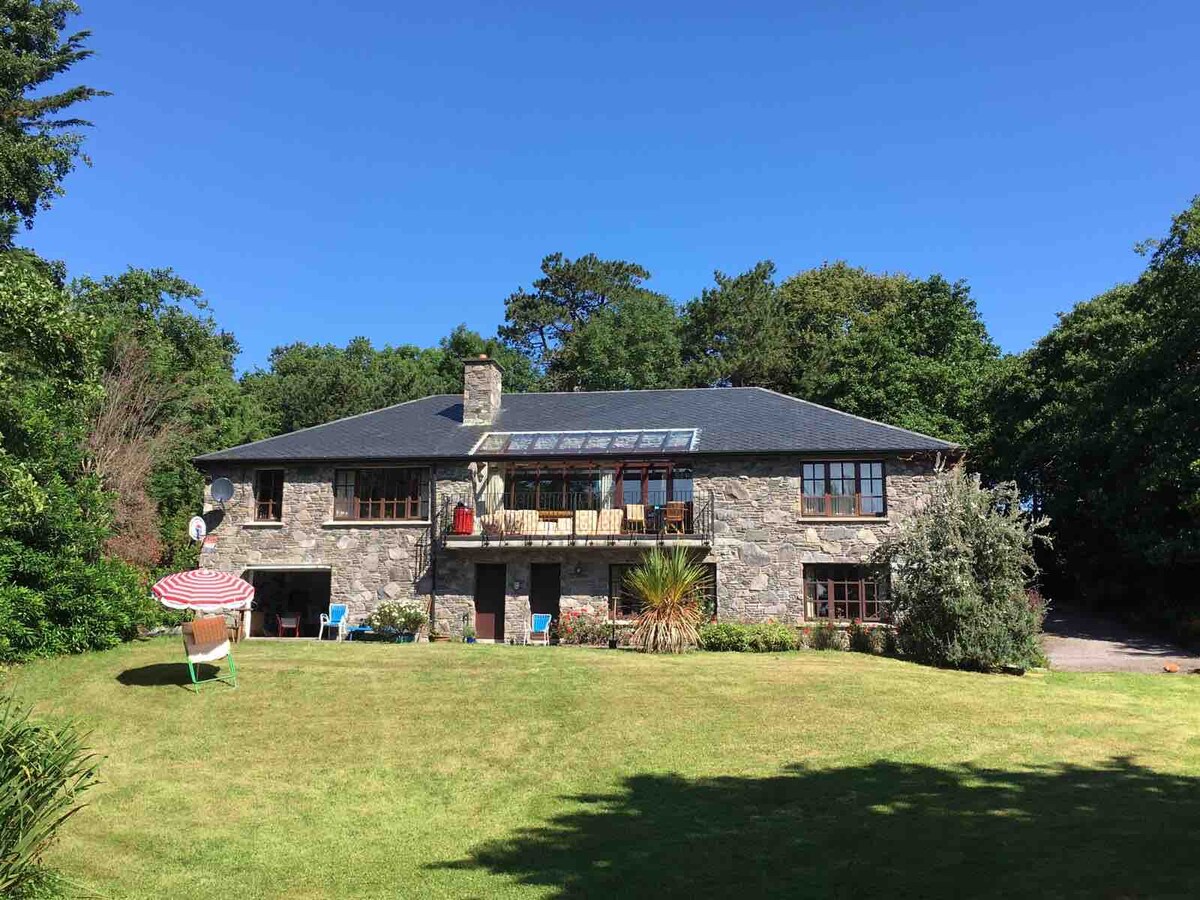 Enclosure in Drombohilly UpperEnclosure · 1128 yd
 DrombohillyMountain / peak · 1.2 mi
 DroppaCliff · 1.6 mi
 RoadRoad, unclassified togher · 1.8 mi
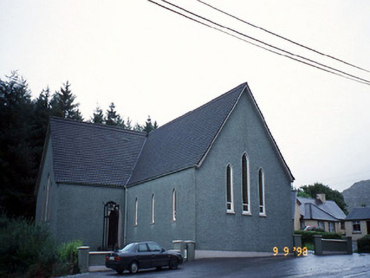 Saint Killian's Catholic Churchchurch/chapel · 2.0 mi
 CummeenanimmaMountain / peak · 2.2 mi
 Uragh Wood Nature ReserveNature reserve · 2.3 mi
 New Zealand broadleafNew Zealand broadleaf · 2.5 mi
 Gleninchaquin WaterfallWaterfall · 3.2 mi
 Gleninchaquin ParkHeritage attraction · 3.3 mi
 Duck RockIslet · 3.4 mi