What is recorded here
Situated on a gentle SE-facing slope in gently undulating pastureland, in a reclaimed field. Indicated as an irregular enclosure on the 1st ed. (1843) OS 6-inch map. A roughly triangular-shaped enclosure (33.5m N-S; 45m E-W) defined by a wide, flat-topped earth and stone bank (Wth 2.1m crest; 3.9m base; int. H 0.52m; ext. H 0.26m) best preserved in the SW corner and along the S side. The interior is obscured by vegetation and no burials are evident.
The above description is derived from 'The Archaeological Inventory of County Tipperary. Vol. 1 - North Tipperary' compiled by Jean Farrelly and Caimin O'Brien (Dublin: Stationery Office, 2002). In certain instances the entries have been revised and updated in the light of recent research.
Date of upload/revision: 22 September 2008
The monument record does not grant public access. Check the route and ask the landowner before entering private land.
- What survives
- Recorded monument
Places near here
 Bawn in MoycarkyBawn · 425 yd
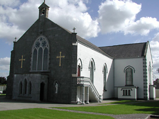 Saint Peter's Catholic Churchchurch/chapel · 557 yd
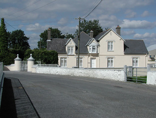 Moycarky Cottagehouse · 577 yd
 Enclosure in MoycarkyEnclosure · 1048 yd
 Gift Horse GalleryGallery · 1099 yd
 CastleCastle, ringwork · 1154 yd
 Black FortFairy fort / earthen ringfort · 1319 yd
 Horse and JockeyVisitor information · 1.3 mi
 Sweet ChestnutSweet Chestnut · 2.4 mi
 Killough Hill (site of)Mountain / peak · 2.4 mi
 European ashEuropean ash · 2.6 mi
 Gobban Saer's GraveArchaeological place · 2.7 mi