
What is recorded here
Mausoleum vaults and chest tombs cluster around the ruined parish church of Newcastle West, where the earliest known headstone marks the 1770s and newer stones continue the line into the twentieth century. The graveyard remains in use on its gentle south-facing slope, neat enough to suggest that remembering still matters more than forgetting.
On gentle S-facing slope, c. 750 NNW of Newcastle West (LI036-067001-); on W side of road. Large, roughly rectangular graveyard (c. 100m N-S; c. 80m E-W), still in use and neatly maintained. South-of-centre is ruin of parish church (LI036-024001-) of Newcastle West, the E end of which is overlain by 18th and 19th century burial vaults including classical limestone Mausoleum. Scatter of 19th-century chest tombs to s of church. Numerous headstones, mostly 19th and 20th century (latter to N of church), but earliest headstone noted dated to 1770s.
Compiled by: Denis Power
Date of upload: 26 August 2011
The monument record does not grant public access. Check the route and ask the landowner before entering private land.
- What survives
- Recorded monument
Places near here
 Church (in ruins)Church · 9 yd
 Enclosure in Castle DemesneEnclosure · 203 yd
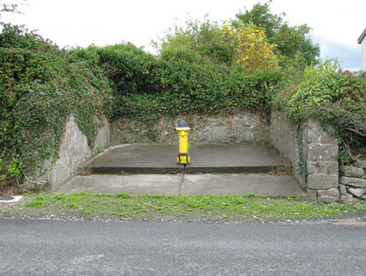 water pumpwater pump · 276 yd
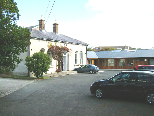 Enclosure in ChurchtownEnclosure · 483 yd
 Templars Castle (in ruins)Castle, Anglo-Norman masonry castle · 906 yd
 Limerick GreenwayWalking route · 3.2 mi
 Castle MahonCastle · 3.4 mi
 St. Luke's WellSpring · 3.8 mi
 Sugar HillMountain / peak · 4.4 mi
 St. Kieran's WellSpring · 4.7 mi
 European ashEuropean ash · 5.0 mi
 Ballagh MountainMountain / peak · 6.3 mi
Other information
Photo: Credit not shown in the picture search · Rights wording not checked; contact us if this picture should be removed