What is recorded here
On E side of avenue, within precinct of medieval borough (LI038-106001-). Trapezoidal graveyard (c. 70m E-W; c. 60m N-S) enclosed by stone wall; gate and style at W end of N wall. In use and maintained; full of headstones the earliest noted dating to 1790s, no chest tombs but burial vaults of Conyers family inside W end of ruined medieval parish church (LI038-106003-) which stands near N end of graveyard. Excavation by (McCutcheon 2003, 308) found remains here of 18th century activity. The summary excavation results were described as following; 'One feature, a shallow pit (10.5m by 6.3m maximum) with associated gullies, stake-holes and stone flags, was possibly a kiln or furnace. The basal fill was a carbonised silt, and the underlying boulder clay indicated in situ burning. The stake-holes might represent, if not a superstructure or roof, then perhaps a wind block. Unworked medium to large stones in the overburden may have been the remains of a drystone lining. A series of stone settings on the western side of the site may be parts of a cobbled path leading through the field to the church. A low arcing ridge which enclosed the existing graveyard proved to be a man-made bank. Evidence from beneath the bank dated it to the 18th century at the earliest. The first-edition OS map shows an angular northern boundary to the graveyard. The existing graveyard boundary wall was newly built at the beginning of the 20th century' (www.excavations.ie).
Compiled by: Denis Power
Date of upload: 26 August 2011
The monument record does not grant public access. Check the route and ask the landowner before entering private land.
- What survives
- Recorded monument
Places near here
 Church (in ruins)Church · 20 yd
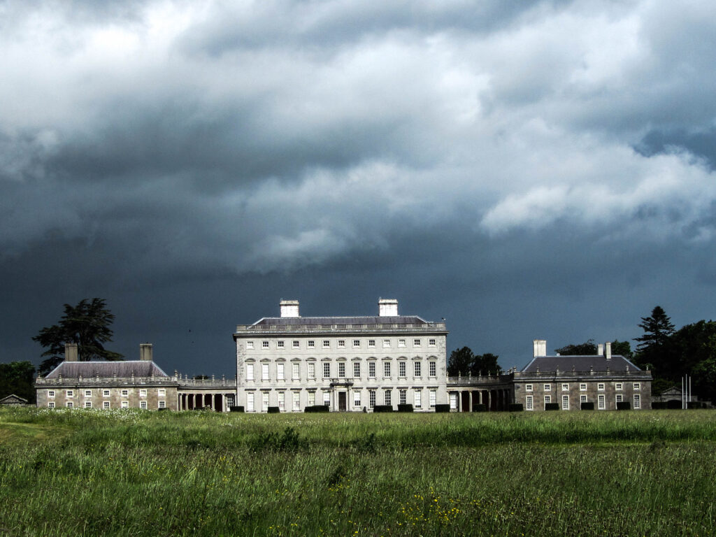 Enclosure in Castletown (connello Upper By.)Enclosure · 267 yd
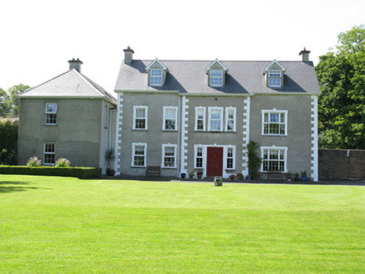 Castletown Conyerscountry house · 269 yd
 IndicatedCastle, motte · 338 yd
 Castle (in ruins)Castle, hall-house · 383 yd
 Our Lady's WellSpring · 415 yd
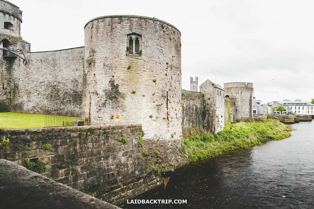 Cooreagh Fort - HachuredFairy fort / earthen ringfort · 1525 yd
 Saint Derivla's WellSpring · 1.4 mi
 KnockfeerinaMountain / peak · 3.7 mi
 Famine stoneMemorial · 3.7 mi
 National Co-op MuseumMuseum · 6.7 mi
 Mullaghareirk - Banane LoopWalking route · 12 mi