What is recorded here
Killererin Church stands beside a graveyard where most burials lie south of the building and another cluster rests north of the modern church. The earliest noted date is 1823, but the ground itself may hold older forgotten lives. People walked this place for generations, marking death and memory alongside worship.
This graveyard (c. 110m NE-SW; c. 85m N-S) is associated with ‘Killererin Church’ (GA044-029----). Most burials are evident to the S of the church and the earliest one noted dated to 1823. Another concentration of burials is evident to the SW of the graveyard, to the N of the modern church.
Compiled by: Olive Alcock
Date of upload: 15 September 2015
The monument record does not grant public access. Check the route and ask the landowner before entering private land.
- What survives
- Recorded monument
Places near here
 Killererin Church (in Ruins)Church · 32 yd
 Saint Mary's Catholic Churchbell tower/stand · 85 yd
 Barnaderg CastleCastle · 1317 yd
 Field system in Barnaderg NorthField system · 1483 yd
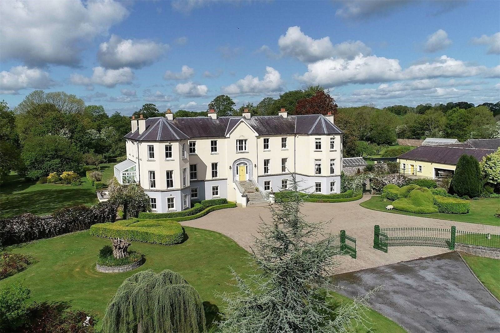 Lisherriddy FortFairy fort / earthen ringfort · 1.4 mi
 Knockmoy AbbeyHeritage attraction · 2.3 mi
 CastleCastle, unclassified · 2.4 mi
 Menlough IRAMemorial · 7.4 mi
 European ashEuropean ash · 8.1 mi
 Mass RockNamed rock · 9.2 mi
 KnockmaaWood · 9.6 mi
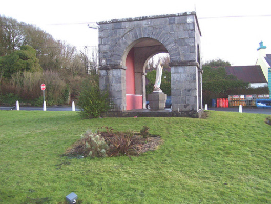 monumentmonument · 1060 yd