What is recorded here
In low-lying marshy land. This children's burial ground is defined by a semicircular area (17m E-W) which is delimited by a field wall at N. About twenty set stones, some grass covered, are visible in the W sector. According to local information it was in use up until the early 1930s. A rath (GA105-034----) lies c. 225m to the NE.
Compiled by: Galway Archaeological Survey, UCG
Date of upload: 29 August 2019
The monument record does not grant public access. Check the route and ask the landowner before entering private land.
- What survives
- Recorded monument
Places near here
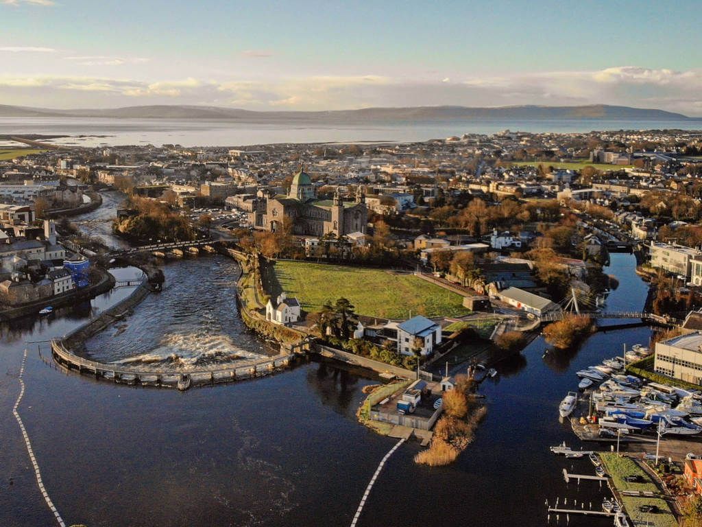 IndicatedFairy fort / stone ringfort · 1113 yd
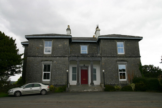 Coorheen Housecountry house · 1431 yd
 Ash IslandIslet · 1557 yd
 LisnarahaFairy fort / stone ringfort · 1586 yd
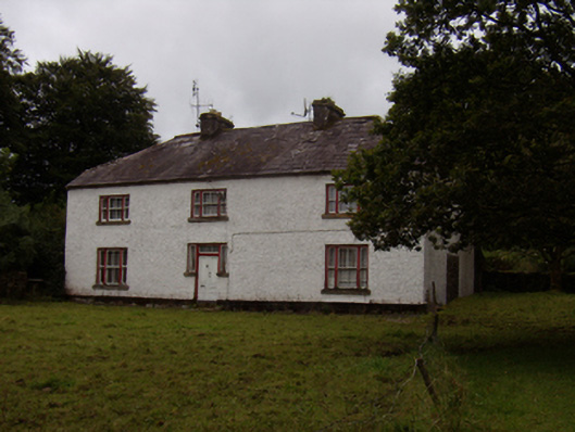 Abbeyville Househouse · 1683 yd
 Site of CastleCastle, unclassified · 1683 yd
 Island McCooIslet · 1.4 mi
 Long PointHeadland · 1.6 mi
 CastleCastle, tower house · 1.8 mi
 Scalpeen RockNamed rock · 3.6 mi
 KnockapollboyMountain / peak · 5.2 mi
 Derrybrien Bog SlideHeritage attraction · 6.0 mi