What is recorded here
Located on elevated ground c. 150m N of the rocky shore on the S end of the Mullet Peninsula. There is a small bay, bordered by a beach, 280m to W.
Shown on the 1838 OS 6-inch map as a sub-oval area (c. 50-55m EW; c. 35m N-S) delimited by a dashed line, and annotated as 'Burial Ground', with 'Fallmore church' (MA033-001001-) and 'St Derivla's Grave' (SL033-001005-) indicted in the E half. By the time of the 1921 edition, the graveyard had expanded to its current subrectangular extent (75m E−W; 60m N−S). It is enclosed by a stone wall, bordered at S by a road, and encompasses a natural rise or small knoll, with a steep slope down at S−W. The wall on the S side, which is built against the base of the slope, describes a shallow curve, mirroring the curve of the hill. There is a dense concentration of graves, occupying both the level high ground and the steep slopes. Many graves are marked by low, uninscribed headstones; the majority are roughly rectangular unshaped stones, but a few have been cut to a simple cross-shape. Interspersed amongst these, are formal inscribed headstones, dating to the 19th and 20th centuries. Several graves are outlined by an accumulation of white, quartzite beach cobbles. The church (MA033-001001-) is located on a level area at the highest point in NE quadrant of the graveyard, and immediately to N of the church is a graveslab (MA033-001005-), which according to tradition, marks the grave of St. Dairible. At N the graveyard wall overlies an earthen bank which may be a remnant of an early ecclesiastical enclosure (MA033-001008-). The graveyard was in use until the early 1970’s; a large, modern graveyard is located to S.
Compiled by: Jane O'Shaughnessy
Date of upload: 19 June 2018
Neolithic passage tomb; dates to the 4th–3rd millennium BCE. Its location on elevated ground suggests ritual or communal significance within the Neolithic landscape of the Mullet Peninsula.
The monument record does not grant public access. Check the route and ask the landowner before entering private land.
- What survives
- Recorded monument
Places near here
 Fallmore ChurchChurch · 15 yd
 St. Deriblas WellHoly well · 422 yd
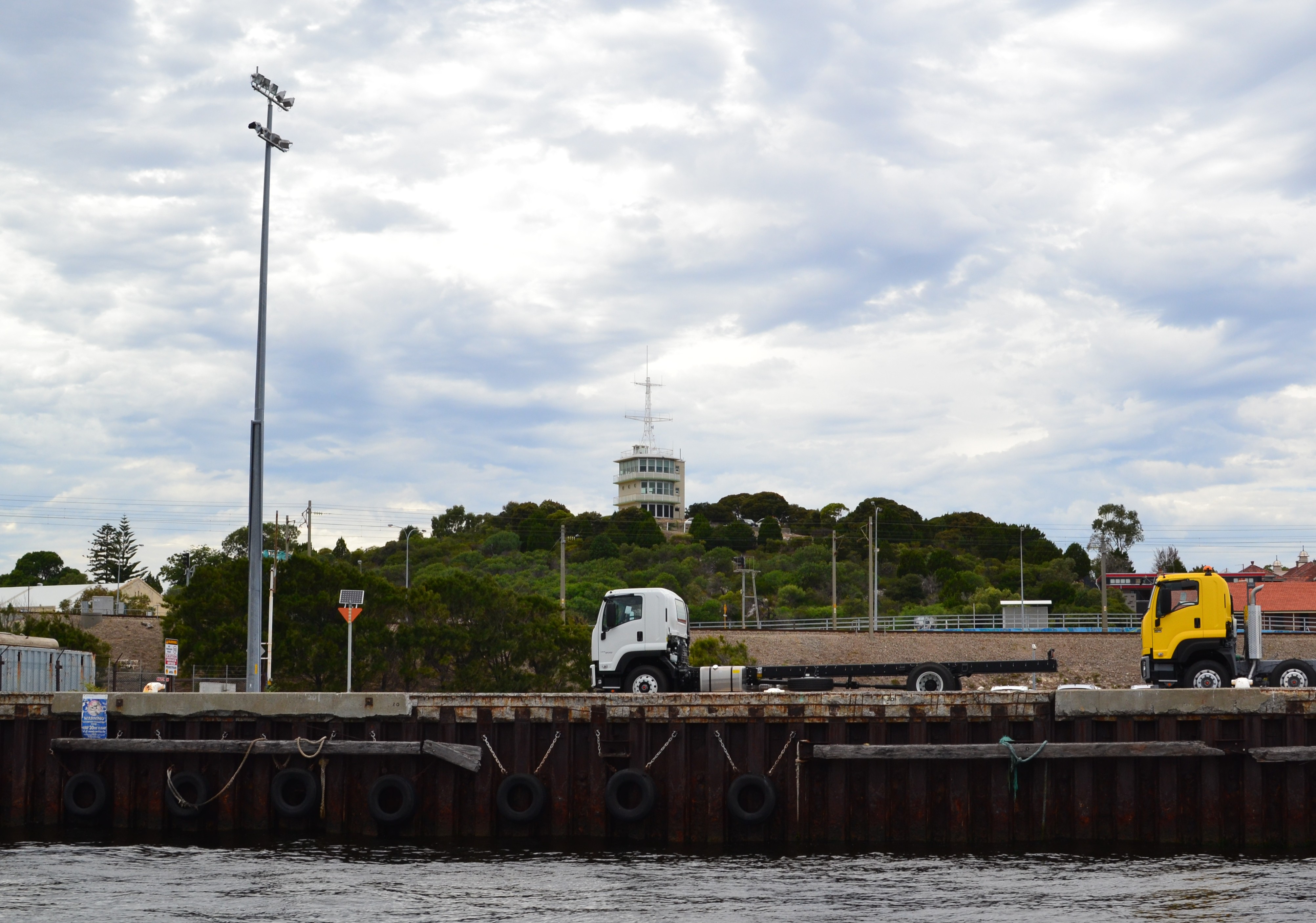 Termon Hill Signal StationRuins · 1305 yd
 Léim an ReitheIslet · 1753 yd
 TermonEcclesiastical site · 1.1 mi
 Termon BeachBeach / strand · 1.4 mi
 CaolaighIslet · 1.8 mi
 Trá Mullach RuaBeach / strand · 3.3 mi
 Site of Redmond Barretts CastleCastle, unclassified · 3.4 mi
 Ceann FionnaltaHeadland · 4.7 mi
 Barranagh Castle in RuinsCastle, unclassified · 5.4 mi
 GubacregganmoreHeadland · 5.5 mi