What is recorded here
Forty feet of raised earth still circle the ruined Quakers' Meeting House in County Cavan, marking a boundary that spans centuries rather than obeying one calendar. The ringfort shape suggests ancient occupation, yet the stone chamber at its heart belongs to a much later faith, creating a strange layer where human belief kept returning to the same ground. That repetition transforms a simple earthwork into a living record of memory, showing how places accumulate meaning long after their first builders vanished.
Marked 'Fort' on OS 1836 ed. Raised circular area (int. diam. c. 34.7m) enclosed by a low earthen bank. A rectangular stone building representing the remains of a Quakers' Meeting House, marked on all OS eds, stands at the centre of the internal area. Davies (ITA Survey 1946) also noted 'a few graves' within the enclosure. Original entrance may have been at W where there was an old laneway. A wide depression at the external foot of the bank at NW probably represents the remains of another laneway. On the OS 1836 ed. dwelling-houses are depicted skirting the site from ENE-SE.
The above description is derived from the published 'Archaeological Inventory of County Cavan' (Dublin: Stationery Office, 1995). In certain instances the entries have been revised and updated in the light of recent research.
Date of upload/revision: 22 December 2008
The monument record does not grant public access. Check the route and ask the landowner before entering private land.
- What survives
- Recorded monument
Places near here
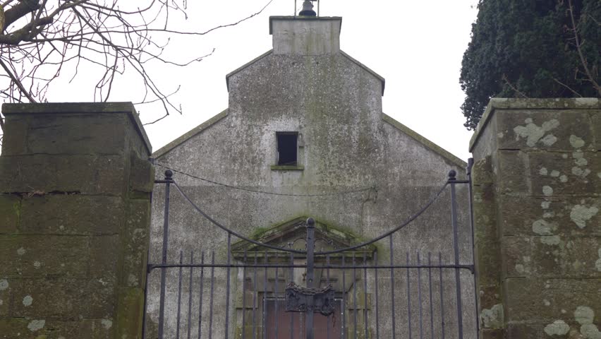 Church in ruinsChurch · 391 yd
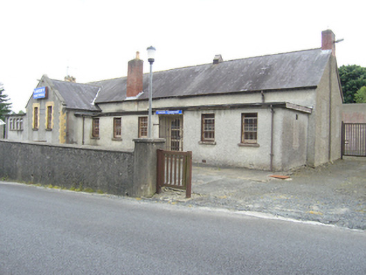 Lavery Electricalschool · 412 yd
 CastleCastle, unclassified · 853 yd
 Killycramph WoodForest · 1385 yd
 IndicatedFairy fort / earthen ringfort · 1740 yd
 Errigal RingfortArchaeological place · 1.1 mi
 Erica's Fairy ForestForest · 1.3 mi
 Dromore HillMountain / peak · 1.4 mi
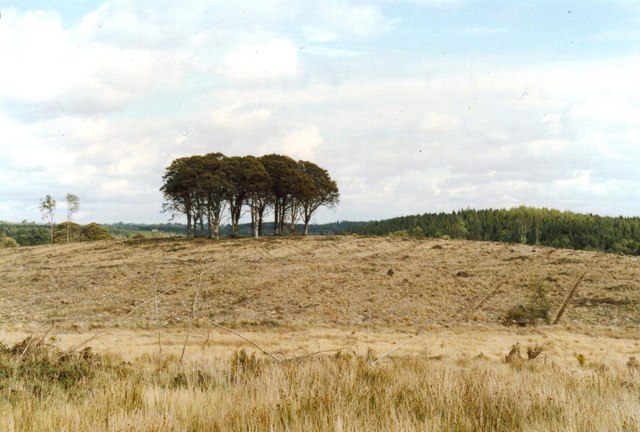 Flagpole HillMountain / peak · 1.7 mi
 Graveyard in Drumgoon (clankee By.)Graveyard · 2.4 mi
 Site of Old CastleCastle, unclassified · 3.0 mi
 Giant's GraveArchaeological place · 5.1 mi