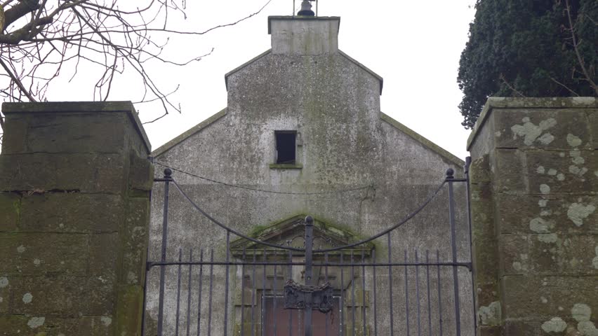
What is recorded here
Marked 'Church (in ruins)' on OS 1836 and 1876 eds. O'Connell (1937, 157-9) claimed that the disused cemetery in Cootehill marks the site of a 14th-century church. He recorded that 'the walls have long since been demolished' but that 'near the entrance gate some traces of the old church may be detected'. Davies (1948, 83) found nothing surviving of the church. Not visible at ground level.
The above description is derived from the published 'Archaeological Inventory of County Cavan' (Dublin: Stationery Office, 1995). In certain instances the entries have been revised and updated in the light of recent research.
Date of upload/revision: 22 December 2008
The monument record does not grant public access. Check the route and ask the landowner before entering private land.
- What survives
- Recorded monument
Places near here
 McCrystal's Pharmacyshop/retail outlet · 106 yd
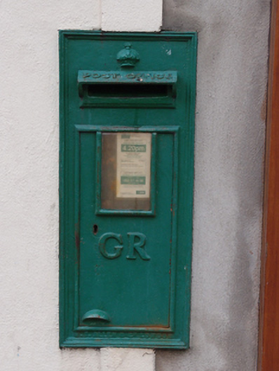 post boxpost box · 116 yd
 CastleCastle, unclassified · 1366 yd
 Killycramph WoodForest · 1378 yd
 IndicatedFairy fort / earthen ringfort · 1499 yd
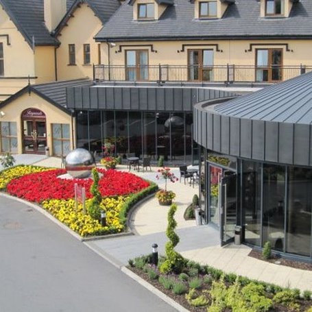 Errigal RingfortArchaeological place · 1754 yd
 Erica's Fairy ForestForest · 1.2 mi
 Dromore HillMountain / peak · 1.2 mi
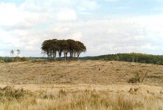 Flagpole HillMountain / peak · 1.6 mi
 Graveyard in Drumgoon (clankee By.)Graveyard · 2.6 mi
 Site of Old CastleCastle, unclassified · 2.9 mi
 Giant's GraveArchaeological place · 5.0 mi
Other information
Photo: Credit not shown in the picture search · Rights wording not checked; contact us if this picture should be removed