What is recorded here
Not shown on 1842 and 1904 OS 6-inch maps; shown on 1937 OS 6-inch map as square hachured area (c. 10m square) with church site (14516) in interior. In pasture, on NE-facing slope. No visible surface trace remains. Bowman (1934, 480) noted 'surrounding fence...levelled but the site is c. 2ft higher than the surrounding field level and measures 17yds by 11...Many grass-covered mounds are strewn over the site.'
The above description is derived from the published 'Archaeological Inventory of County Cork. Volume 4: North Cork' (Dublin: Stationery Office, 2000). In certain instances the entries have been revised and updated in the light of recent research.
Date of upload/revision: 14 January 2009
The monument record does not grant public access. Check the route and ask the landowner before entering private land.
- What survives
- Recorded monument
Places near here
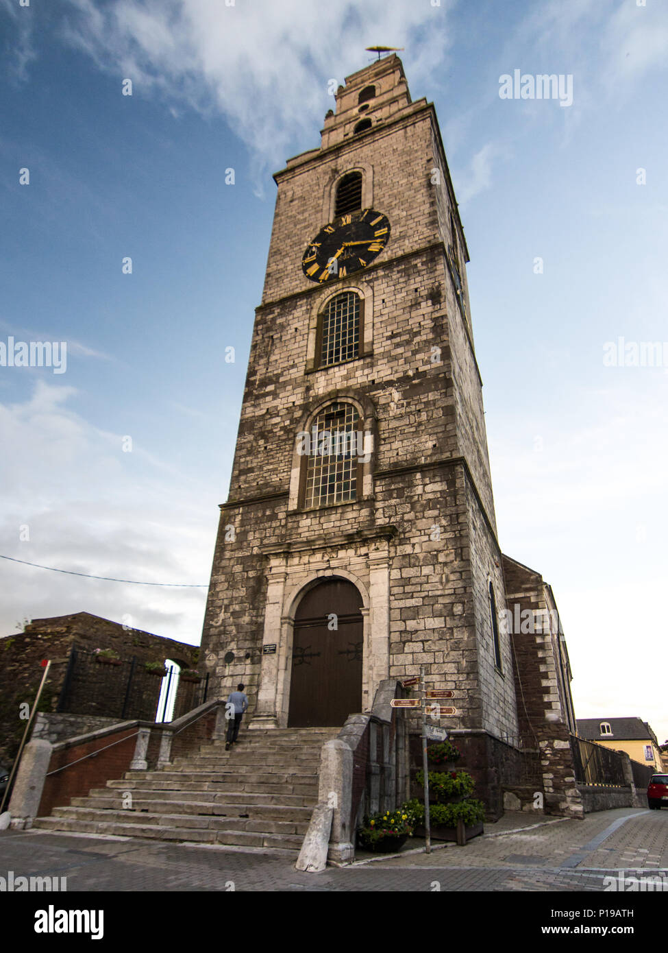 Church (Site of)Church · 1 yd
 Burial Ground (Disused)Burial ground · 1241 yd
 IndicatedKiln, lime · 1730 yd
 Wood ViewCountry house · 1.1 mi
 Castle McAuliffe (Site of)Castle, unclassified · 1.1 mi
 CastleCastle, unclassified · 2.4 mi
 Stanner's Glen, Priory WoodWood · 4.2 mi
 TaurMountain / peak · 4.9 mi
 Kanturk CastleHeritage attraction · 6.1 mi
 St Fursey's WellSpring · 8.1 mi
 Burial ground in AssolasBurial ground · 8.4 mi
 European YewEuropean Yew · 8.6 mi