What is recorded here
Burial Gd for Children is a small Clare field where unbaptised babies rested beneath mature whitethorn trees. Low upright stones still mark the western edge, facing east as if waiting for light rather than praise. The ground has survived ploughing and memory, keeping its shape in pasture while the valley stream moves below.
On a steady SE-facing slope, in pasture, overlooking the valley of a stream in the foreground and surrounded by a gently undulating landscape. Depicted and named ‘Burial Gd. for Children’ on 1842 edition of the OS 6-inch map and ‘Children’s Burial Ground’ on the OS 25-inch map and 1920 edition of OS 6-inch map. A roughly subrectangular area (17.3m NW-SE; 23m NE-SW) with scattered steadfast stones and low upright markers interspersed between mature whitethorn trees. The edges are irregular and poorly defined. The upright markers appear to be E-facing and are randomly occurring across the burial ground. In some instances they appear close together or even side-by-side. A distinct concentration of low, upright markers are arranged in two parallel linear sequences at the western end of the burial ground. This monument is overgrown with mature thorn trees and dense vegetation in places. Local information confirms this as the resting place for unbaptized babies. It has been preserved in situ although the field was reclaimed in relatively recent times.
The following images have been uploaded:
CL027-008----_01.jpg From NE. General view of monument.
CL027-008----_02.jpg From N. General view across interior.
CL027-008----_03.jpg From W. Close up of low upright marker on E-side of Children’s Burial Ground.
CL027-008----_04.jpg From W. Close up of linear arrangement of stones on W-side of Children’s Burial Ground.
Compiled by: Mary Tunney, Alison McQueen and Vera Rahilly
Date of upload: 5 December 2018
A Neolithic burial structure, likely a cairn or simple pit burial, dating to the 4th–3rd millennium BCE. Its designation as a "Burial for Children" suggests possible ritual or special treatment of the young in Neolithic funerary practices.
The monument record does not grant public access. Check the route and ask the landowner before entering private land.
- What survives
- Recorded monument
Places near here
 Enclosure in BauragegaunEnclosure · 812 yd
 IndicatedEnclosure · 1418 yd
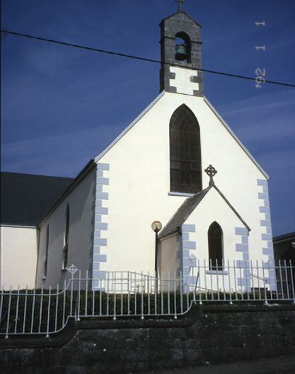 Saint Mary's Catholic Churchchurch/chapel · 1.5 mi
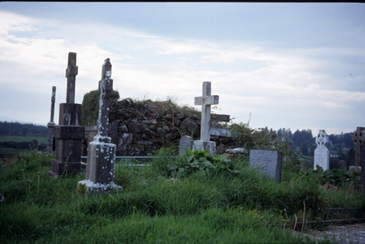 graveyard/cemeterygraveyard/cemetery · 1.9 mi
 Castle (in ruins)Castle, tower house · 2.5 mi
 Bawn in Lecarrow UpperBawn · 2.5 mi
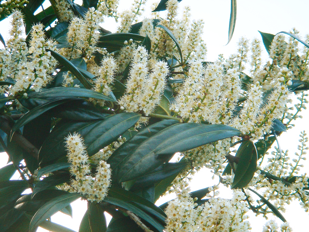 Cherry laurelCherry laurel · 3.6 mi
 Japanese cedarJapanese cedar · 3.6 mi
 MagheraMountain / peak · 3.9 mi
 The StablesGallery · 5.0 mi
 Cloghleagh RockNamed rock · 7.7 mi
 Swan IslandIsland · 8.8 mi