What is recorded here
In a rath (MA111-030001-). Indicated as ‘Burial Gd.’ on the 1838 OS 6-inch map and as ‘Children’s Burial Ground’ on the 1930 edition. Quarrying has largely destroyed the rath, and no trace of the burial ground is evident.
Compiled by: Jane O'Shaughnessy
Date of upload: 20 December 2022
The monument record does not grant public access. Check the route and ask the landowner before entering private land.
- What survives
- Recorded monument
Places near here
 Enclosure in Castlemagarretpark NewEnclosure · 968 yd
 Bawn in Castlemagarretpark OldBawn · 1176 yd
 CastlemagarretCastle · 1186 yd
 IndicatedFairy fort / earthen ringfort · 1377 yd
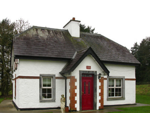 Castlemacgarrettgate lodge · 1481 yd
 Geoffrey's WoodForest · 1483 yd
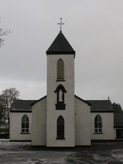 Saint Mary's Catholic Churchchurch/chapel · 1682 yd
 Oak WoodForest · 1699 yd
 Land of the GiantsHeritage attraction · 2.8 mi
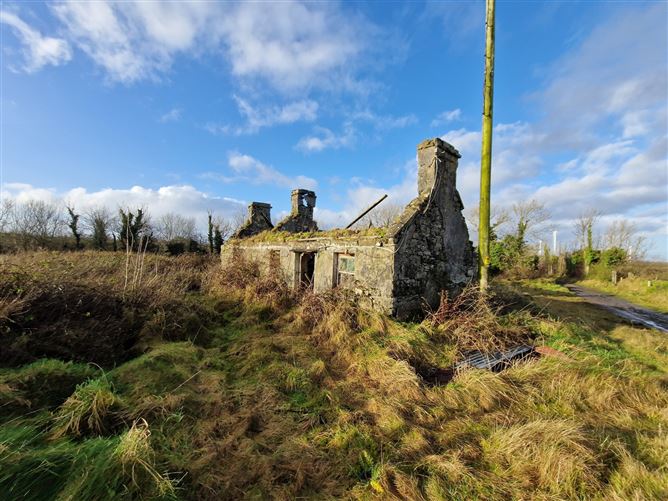 Enclosure in Ballindine NorthEnclosure · 1701 yd
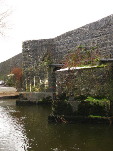 Crossboyne Bridgebridge · 1.0 mi
 All Souls' Church (Crossboyne)church/chapel · 1.0 mi