What is recorded here
Maguires Fort was a circular embanked enclosure on a narrow esker in County Mayo, named on maps from 1838 to 1930 before quarrying destroyed most of its bank. Only a short curving wall remains at the north end, half buried beneath beech, ash and brambles, while the south side has been concreted for silage storage. The children’s burial ground once kept beside it has vanished without trace, leaving the fort as a broken arc where human memory and land use collided.
In pasture, located on a low narrow elongated rise or esker
This rath is shown on the 1838 OS 6-inch map as a circular embanked enclosure; by the time of the 1930 edition only the W half of the enclosure is shown, depicted as an arc of hachuring (diam. c. 25m NE−SW), enclosed within a narrow wooded space. On both map editions it is named ‘Maguires Fort’. Much of the esker has been quarried away and as a result the rath appears to have been largely destroyed. It is possible that portions of the rath remain intact between the areas of quarrying but this is uncertain. A short length of curving bank (Wth 2.5m; H 0.5m) appears to be all that remains of the enclosing bank; it is located at the N end of the esker, and probably equates with a portion of the NW arc of the rath. The remainder of the rath cannot be traced.
An area on the SW side of the esker has been dug away, concreted over and is now used for the storage of silage bales, and a trackway leads N from this to the road that borders the NE side of the field, extending through what would have been the W half of the rath. Beech, ash, sycamore and hawthorn trees, as well as brambles, grow on the surviving remnants of the esker.
There is no trace of the children’s burial ground (MA030002-) which was located at the rath.
Compiled by: Jane O'Shaughnessy
Date of upload: 20 December 2022
Maguires Fort, Esker North is a ringfort situated on an esker, likely dating to the early medieval period. It is associated with local folklore referring to it as a "fairy fort," reflecting the belief that such sites were inhabited by supernatural beings.
This remains an important historical record, but the official description says the monument is no longer visible or has been destroyed. The monument record does not grant public access. Check the route and ask the landowner before entering private land.
- What survives
- No visible remains or recorded as destroyed
Places near here
 Enclosure in Castlemagarretpark NewEnclosure · 968 yd
 Bawn in Castlemagarretpark OldBawn · 1176 yd
 CastlemagarretCastle · 1186 yd
 IndicatedFairy fort / earthen ringfort · 1376 yd
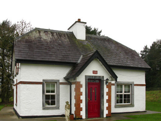 Castlemacgarrettgate lodge · 1480 yd
 Geoffrey's WoodForest · 1483 yd
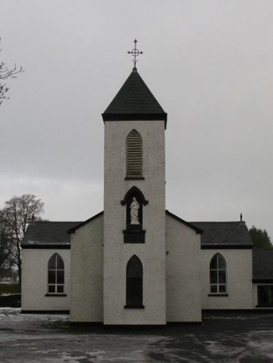 Saint Mary's Catholic Churchchurch/chapel · 1683 yd
 Oak WoodForest · 1699 yd
 Land of the GiantsHeritage attraction · 2.8 mi
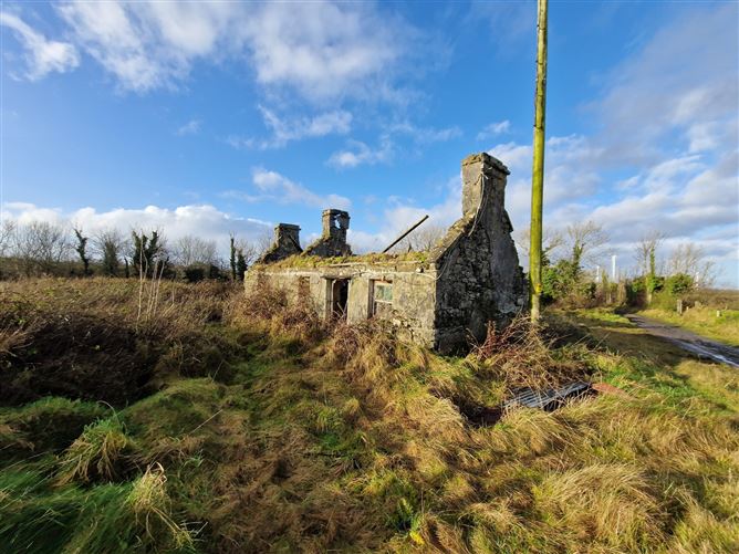 Enclosure in Ballindine NorthEnclosure · 1700 yd
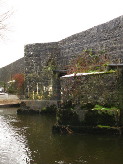 Crossboyne Bridgebridge · 1.0 mi
 All Souls' Church (Crossboyne)church/chapel · 1.0 mi