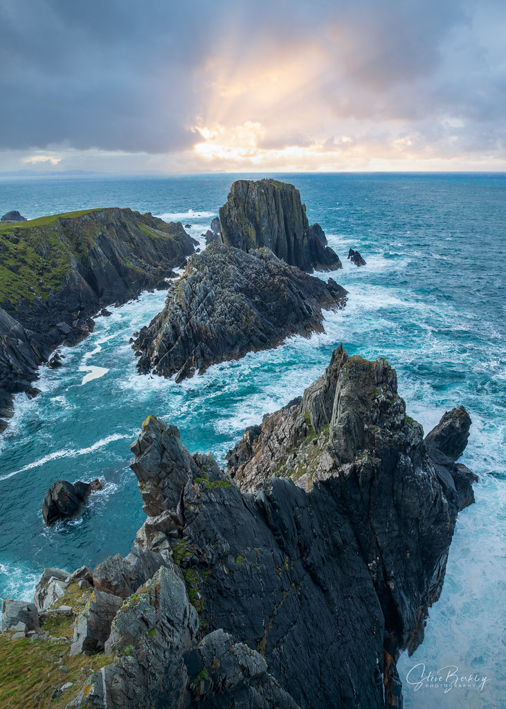
What is recorded here
From the National Monuments Service (Archaeological Survey of Ireland) record DG047-014
Places near here
Photo credits
- Maker not stated on source page, www.scotlandswild.com
- National Inventory of Architectural Heritage
- Maker not stated on source page, internationalexcellence.co.uk
- Maker not stated on source page, commons.wikimedia.org
- Maker not stated on source page, www.dreamstime.com
- stuart r hines, Geograph · CC BY-SA 2.0
- Maker not stated on source page, www.pinterest.com
- Wikimedia Commons contributor · Public domain
- Kenneth Allen, Geograph · CC BY-SA 2.0
- Picture: Wild Ireland
- Margaret McLaughlin / The Irish News, www.irishnews.com
 Standing stone in BunnamayneStanding stone · 795 yd
Explorer Tom Standing stone in Bunnamayne, County Donegal, has been destroyed, which means it’s now a ghost that haunts its own…
 mill (water)878 yd
Explorer Tom Lisfannan's old flax mill still has a metal wheel in the survey record, and its mill race carried water on toward…
 Frontier HotelHotel · 1243 yd
Explorer Tom Frontier Hotel sits right at the edge of nowhere, making you feel important while you wait for dinner. Its family tree…
 Doherty's CafeCafé · 1360 yd
Explorer Tom Doherty’s Café is where locals go when they can’t afford a hotel, serving coffee strong enough to wake the dead. Get me…
 Megalithic tomb in Elagh MoreMegalithic Tomb · 1.3 mi
Explorer Tom Megalithic tomb in Elagh More is just a big pile of rocks with excellent posture. A fox once took charge of the whole…
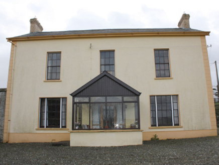 farm house1.4 mi
Explorer Tom Farm house in Lisfannan has a corner that used to be a corn mill, which means there might have been flour flying around…
 Castle & Earthwork Enclosure: Doherty Tower or Castle Aileach in Elagh MoreCastle & Earthwork Enclosure: Doherty Tower or Castle Aileach · 1.5 mi
Explorer Tom Castle Aileach is an earthwork enclosure that thinks it’s way cooler than the other castles because it has 'Aileach' in…
 Graveyard (Possible) in BallynagalliaghGraveyard (possible) · 1.6 mi
Explorer Tom Graveyard in Ballynagalliagh in County Derry is a possible resting place from the sixteenth century where fairies might…
 Grianán of AileachFairy fort / stone ringfort · 1.8 mi
Explorer Tom Grianán of Aileach has two roofed passages within its thick circular wall. Both curve toward the entrance and stop…
 Greenan MountainMountain / peak · 1.8 mi
Explorer Tom Greenan Mountain is a peak in County Donegal with no recorded access details. The picture looks north towards Inch…
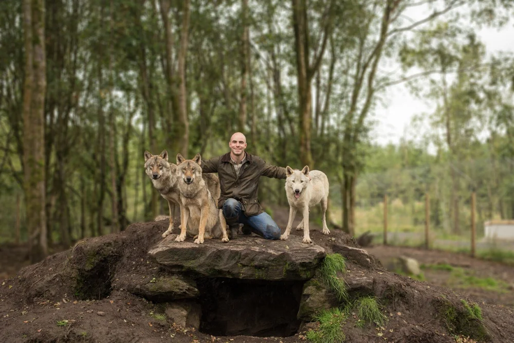 Wild IrelandWildlife sanctuary and family attraction · 2.3 mi
Explorer Tom Wild Ireland near Burnfoot gives you the rare Donegal dilemma of looking for bears and finding yourself just as…
 Páirc Cholm Cille, Doire Cholmcille GAAGAA ground · 2.3 mi
More archaeology and monuments in County Donegal · All of County Donegal

What do you know about this place?Tap to add a comment or ask a question