What is recorded here
Spanning the Clodiagh River (total L 40m). It is mentioned in the Civil Survey of 1654 (Simington 1942, 105) and is traditionally thought to have been built by King John. A narrow bridge (Wth 4m) consisting of three segmental arches of unequal width with plain voussoirs. The piers are carried to the parapet with refuges on the W side.
The above description is derived from the published 'Archaeological Inventory of County Waterford' (Dublin: Stationery Office, 1999). In certain instances the entries have been revised and updated in the light of recent research.
Date of upload/revision: 23 December 2008
The monument record does not grant public access. Check the route and ask the landowner before entering private land.
- What survives
- Recorded monument
Places near here
 Japanese cedarJapanese cedar · 43 yd
 Giant SequoiaGiant Sequoia · 51 yd
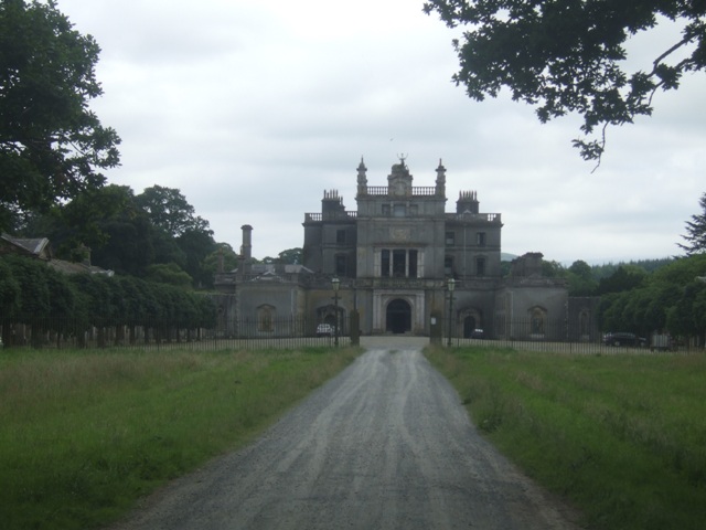 Curraghmore Ho.House, 17th century · 452 yd
 Curraghmorehouse · 458 yd
 Curraghmore HouseCastle · 470 yd
 Enclosure in GuilcaghEnclosure · 821 yd
 Enclosure in CurraghmoreEnclosure · 1169 yd
 Donnell's HillMountain / peak · 1.7 mi
 Portlaw Heritage CentreMuseum · 1.8 mi
 Tower HillMountain / peak · 2.3 mi
 CastleCastle, tower house · 3.4 mi
 Waterford & Suir Valley RailwayHeritage attraction · 5.5 mi