What is recorded here
Presently in the farmyard, but originally it was found in one of the fields of the farm (WI025-080001-). A granite boulder (dims. 60 x 44cm, 35cm high) with an oval bowl-shaped basin (dims. 29cm x 26cm, 19cm deep). Near the base is a hole (3.5cm diameter, 14cm long) drilled through the stone at a 45° angle. Where it exits the underside of the stone the face of the boulder has shattered away, most likely as a result of the drilling of the hole, which is likely to be quite recent and not original.
Date of upload: 30 October 2012
The monument record does not grant public access. Check the route and ask the landowner before entering private land.
- What survives
- Recorded monument
Places near here
 IndicatedEnclosure · 510 yd
 CastleCastle, unclassified · 1661 yd
 European YewEuropean Yew · 1712 yd
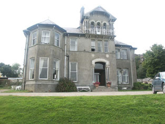 Bel-Air Hotelcountry house · 1.0 mi
 Enclosure in MonduffEnclosure · 1.3 mi
 Horse-chestnutHorse-chestnut · 1.5 mi
 Saint Joseph's Catholic Churchchurch/chapel · 1.6 mi
 Carrick MountainMountain / peak · 1.9 mi
 Round MountCastle, motte · 3.1 mi
 Devil's Glen WaterfallWaterfall · 3.5 mi
 BallinastrawMountain / peak · 4.0 mi
 Workers GreenMemorial · 4.5 mi