What is recorded here
Described as the site of Kildenis church on the 1839 and 1940 eds. of the OS 6-inch map, and located on the NW-facing slope of a slight NE-SW spur of Ballydonigan Hill, the summit of which is c. 1.5 km to the ENE. There is no visible evidence of a church (WX020-005001-) at ground level but there is a bullaun stone (dims 0.83m x 0.45m; H 0.5m) within a single basin (dims 0.32m x 0.26m; D 0.2m) at the centre of the ecclesiastical enclosure (WX020-005002-).
Compiled by: Michael Moore
Date of upload: 31 May, 2012
Likely dating to the early Christian period, the Bullaun stone in Tinnacross may have been used for ritual purposes, such as the anointing of the sick or as a holy water font associated with the nearby Kildenis church. Such stones often held spiritual significance and were linked to local Christian traditions or prehistoric sacred practices.
The monument record does not grant public access. Check the route and ask the landowner before entering private land.
- What survives
- Recorded monument
Places near here
 Site of Kildenis ChurchChurch · 1 yd
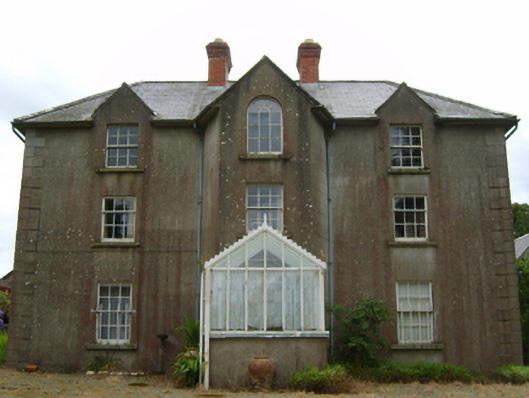 Tinnacross Housefarm house · 226 yd
 Burnt spread in TinnacrossBurnt spread · 1203 yd
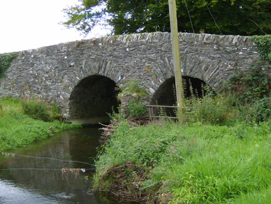 Tinnacross Bridgebridge · 1302 yd
 U.N. Peace MemorialMonument · 4.4 mi
 Battle of Vinegar HillMajor battlefield · 4.5 mi
 Duffry GateMemorial · 4.5 mi
 National 1798 CentreMuseum · 4.7 mi
 Daphney CastleCastle, unclassified · 5.6 mi
 CastleCastle, ringwork · 6.3 mi
 Pedunculate OakPedunculate Oak · 6.8 mi
 European LarchEuropean Larch · 7.0 mi