What is recorded here
Situated on side of public road beside a small stream. A circular-shaped water-filled hollow (diam. 0.25m; D 0.22m) is cut into the upper surface of a large boulder (1.10m x 0.55m; H 0.5m).
Compiled by: Caimin O'Brien
Date of upload/revision: : 19 July 2010
The monument record does not grant public access. Check the route and ask the landowner before entering private land.
- What survives
- Recorded monument
Places near here
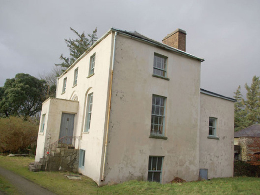 Roxborough Eaglais na hÉireann Reachtaireachtrectory/glebe/vicarage/curate's house · 1367 yd
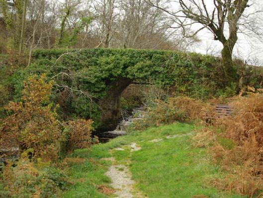 Droichead an Charraig Íochtarachbridge · 1494 yd
 Doire Leathan Coastal Promontory FortPromontory fort, coastal · 1.0 mi
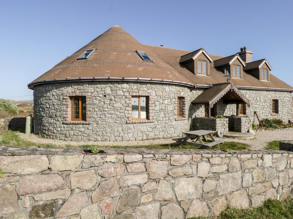 Cross in Rann Na CilleCross · 1.0 mi
 Cliffs at TeelinPublicly named cliff or headland · 1.2 mi
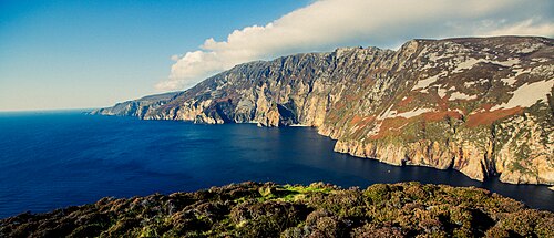 Slieve LeagueViewpoint · 1.6 mi
 Dundawoona Point / Pointe an DúinHeadland · 1.7 mi
 International Appalachian Trail Ulster-IrelandWalking route · 1.8 mi
 Slieve League SE TopMountain / peak · 2.1 mi
 CroaghmuckrosMountain / peak · 2.9 mi
 TraloarBeach / strand · 2.9 mi
 TrabaneBeach / strand · 3.3 mi