What is recorded here
Half a kilometre from the road, a stone cross stands on a broad cairn beside a holy well in Rann Na Cille. The cross is not ornate. It is a thick pillar of local stone with a shallow cross cut into one face, set on a low base. People may have climbed to it in storm or prayer, marking the well and the field beyond. What is certain is that the cross, cairn and well still stand together, unchanged in their relation.
At a holy well (DG096-018001-). A cairn (DG096-018002-) 7.1m x 6.2m with an altar built in the centre, approached by a passage from the S. There is a primitive stone cross (DG096-018004-) on top of the cairn. Immediately to the NNW is a drystone-walled structure (DG096-018003-) 3.4m x 2.5m, up to .65m in height.
The above description was derived from the 'Archaeological Survey of County Donegal. A description of the field antiquities of the County from the Mesolithic Period to the 17th century.' Compiled by: Brian Lacy with Eamon Cody, Claire Cotter, Judy Cuppage, Noel Dunne, Vincent Hurley, Celie O'Rahilly, Paul Walsh and Seán Ó Nualláin (Lifford: Donegal County Council, 1983). In certain instances the entries have been revised and updated.
Date of upload: 22 September 2008
The high cross at Rann Na Cille was likely built by a local Christian community, possibly in the early medieval period, and is associated with a holy well and cairn with an altar. Its style suggests a simple, early Christian tradition, and it is significant as a religious and ritual site linked to both pilgrimage and burial practices.
The monument record does not grant public access. Check the route and ask the landowner before entering private land.
- What survives
- Recorded monument
Places near here
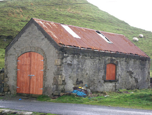 Stáisiún Garda Cósta an Teileannboathouse, coastguard station · 307 yd
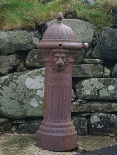 water pumpwater pump · 321 yd
 Cliffs at TeelinPublicly named cliff or headland · 402 yd
 Doire Leathan Coastal Promontory FortPromontory fort, coastal · 790 yd
 Kilbeg Wedge TombWedge tomb · 964 yd
 Dundawoona Point / Pointe an DúinHeadland · 1272 yd
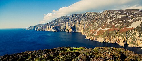 Slieve LeagueViewpoint · 2.0 mi
 TraloarBeach / strand · 2.1 mi
 CroaghmuckrosMountain / peak · 2.2 mi
 International Appalachian Trail Ulster-IrelandWalking route · 2.4 mi
 TrabaneBeach / strand · 2.5 mi
 Slieve League SE TopMountain / peak · 2.9 mi
Other information
Photo: Credit not shown in the picture search · Rights wording not checked; contact us if this picture should be removed