What is recorded here
Situated on the E shoreline of Rinardoo Bay on Lough Ree overlooking Carnakilla Point 165m to W. Base of cross (WM022-017----) 15m to SSE, church (WM022-014002-) and graveyard (WM022-014----) with motte and bailey (WM022-015---) all built on site of Early Christian monastery (WM022-014001-) 60m to N. The stone is located in the area liable to flooding and is partially covered in water part of the year.
Described in 1977 as on top of 'a natural limestone boulder (Dims. 2.4m x 1.4m x H 0.75m) on the lake shore is a possible double bullaun. The longer depression has a definite worked appearance. Depressions measure 0.3m by 0.3m by 0.03m deep and 0.3m by 0.25m by 0.02m deep' (SMR file). There appears to be the partial remains of a third depression (diam. 0.28m)on the surface of the boulder.
Compiled by: Caimin O'Brien
Date of upload: 24 June 2010
The monument record does not grant public access. Check the route and ask the landowner before entering private land.
- What survives
- Recorded monument
Places near here
 Cross in Killinure NorthCross · 17 yd
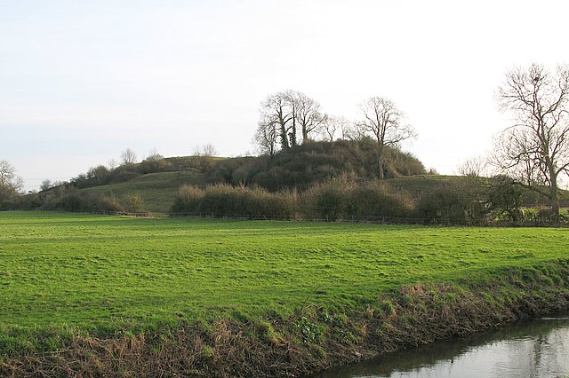 Portlick MotteArchaeological place · 77 yd
 Church in PortlickChurch · 127 yd
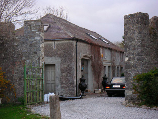 Portlick Castlestables, farmyard complex · 542 yd
 Portlick Millennium ForestWood · 723 yd
 Traveen BayBay · 1240 yd
 Traveen PointHeadland · 1457 yd
 IllanheelanIslet · 1579 yd
 IllanfanIslet · 1.0 mi
 Ballynakill CastleCastle · 1.5 mi
 Bunown CastleCastle · 1.7 mi
 Siege of Athlonesiege · 4.3 mi