What is recorded here
Killgobbin church stands beside a graveyard where a 12th-century granite cross rises from a shapeless boulder. The cross shaft fits into a cut mortise, while a shallow basin marks the stone surface beside it. That small hollow may have collected rain, held oil or received an offering before the cross gave the place its shape.
Situated on the N slope of Three Rock Mountain, on the S side of Kilgobbin Lane, near Stepaside Village. 30m NW of Kilgobbin church (DU025-016001-) and graveyard (DU025-016002-) there is a bullaun or small bowl-shaped hollow on the upper surface of a large boulder which serves as the base of a 12th-century granite high cross (DU025-016011-). The base of the high cross and the bullaun was described by Ball (1905, 71) as; 'The shaft is carefully fitted into an oblong mortice in a shapeless base stone, which measures four feet nine inches across [1.44m], and has a bullaun, or shallow basin, one foot [0.3m] in diameter cut in its surface'.
Compiled by: Geraldine Stout and Padraig Clancy
Revised by: Caimin O'Brien
Date of revised upload: 8 May 2023
Likely dating to the early Christian period, the bullaun stone may have been used for ritual purposes, such as the preparation of holy water or as a site for pilgrimages. In folklore, such stones are often associated with saintly figures and healing traditions.
The monument record does not grant public access. Check the route and ask the landowner before entering private land.
- What survives
- Recorded monument
Places near here
 CrossCross, High cross · 2 yd
 mausoleummausoleum · 18 yd
 Church, Grave Yard, CrossEcclesiastical site · 58 yd
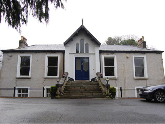 Kilgobbin Castlehouse · 382 yd
 Murphystown Castle (in ruins)Castle, tower house · 1435 yd
 Flat cemetery in CarmanhallFlat cemetery · 1658 yd
 Fitzsimon's WoodNature reserve · 1743 yd
 Three Rock MountainMountain / peak · 1748 yd
 Explorium: National Sport and Science CentreMuseum · 1.1 mi
 Silver BirchSilver Birch · 1.2 mi
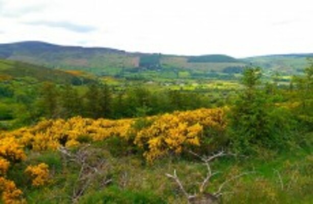 Dublin Mountains WayWalking route · 1.4 mi
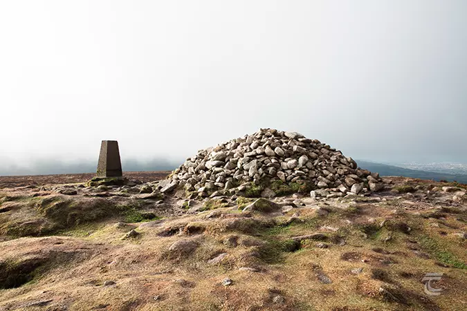 Ticknock - Fairy Castle LoopWalking route · 1.5 mi