What is recorded here
On Inishtrahull, Ireland’s most northerly point, a missing bullaun stone vanished from The Grave behind the old school. The remaining upright slabs, rock face and flat Mass Rock suggest a hidden chamber where water, prayer or memory still moves.
On the N side of the island, behind the old school, is a feature known as 'The Grave' (DG002A001001-). It consists of a series of upright slabs (height c. 0.75m) forming two sides of a square c. 4m x 4m. The third side is formed by the face of rock outcrop which the feature adjoins; the fourth side is open. Internally against the W slab-wall are two flat slabs horizontally laid. These flat slabs are known locally as the Mass Rock (DG002-001003-). A flat stone nearby has a depression resembling a bullaun. This bullaun stone appears to be missing as it is no longer visible inside the enclosure. Inishtrahull island is about 6 miles NE of Malin Head and is the most northerly point of Ireland.
The above description was derived from the 'Archaeological Survey of County Donegal. A description of the field antiquities of the County from the Mesolithic Period to the 17th century.' Compiled by: Brian Lacey with Eamon Cody, Claire Cotter, Judy Cuppage, Noel Dunne, Vincent Hurley, Celie O'Rahilly, Paul Walsh and Seán Ó Nualláin (Lifford: Donegal County Council, 1983). In certain instances the entries have been revised and updated.
Date of upload: 22 September 2008
Likely dating to the early medieval period, the bullaun stone may have been used for ritual purposes, possibly as a holy water basin associated with Christian or pre-Christian traditions. Such stones are often linked to local folklore involving healing or spiritual practices.
The monument record does not grant public access. Check the route and ask the landowner before entering private land.
- What survives
- Recorded monument
Places near here
 Mass-rock in InishtrahullMass-rock · 1 yd
 Inishtrahull SchoolRuins · 26 yd
 InishtrahullIsland · 352 yd
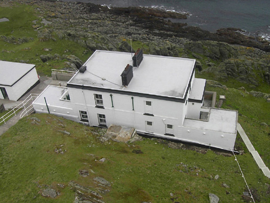 Inishtrahull Lighthouselighthouse keeper's house · 363 yd
 Doherty's Dun / Ballygorman Coastal FortPromontory fort, coastal · 5.0 mi
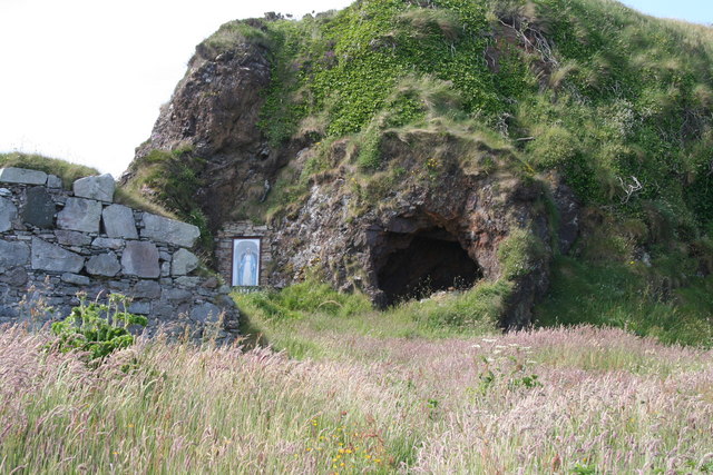 Wee House of Malin CaveCave · 5.5 mi
 Pebble StrandBeach / strand · 6.1 mi
 EIRE 80 signSecond World War neutrality sign · 6.3 mi
 Wild Atlantic Way:Malin HeadVisitor information · 6.4 mi
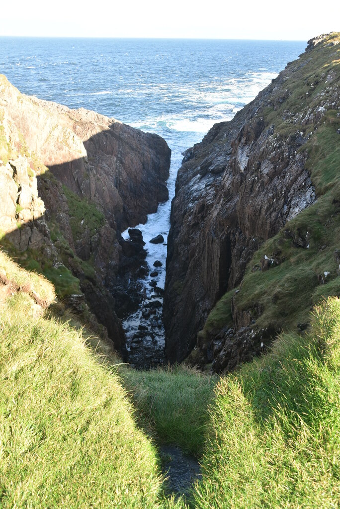 Hell's Hole Cavern, Malin HeadSea cavern and cliff chasm · 6.9 mi
 SkildrenbegIslet · 7.2 mi
 Devil's Bridge, Malin HeadNatural rock arch · 7.2 mi