What is recorded here
Situated towards the bottom of a gentle E-facing slope. An oval shale stone (dims. 1.7m x 1.2m) is embedded in the ground, with three complete basins (diam. 0.26m; D 0.16m: diam. 0.45m; D 0.18m: diam. 0.26m; D 0.16m) and a portion of a fourth (diam. 0.28m; D 0.14m). (Power 1952, 370)
The above description is derived from the published 'Archaeological Inventory of County Waterford' (Dublin: Stationery Office, 1999). In certain instances the entries have been revised and updated in the light of recent research.
Compiled by: Michael Moore.
Date of upload/revision: 4th November, 2010.
Likely dating to the Early Christian or earlier Iron Age period, bullaun stones were often used for ritual purposes, including the preparation of holy water or as pilgrimage sites. They are sometimes associated with local saints or folklore, though specific traditions for this stone are not recorded.
The monument record does not grant public access. Check the route and ask the landowner before entering private land.
- What survives
- Recorded monument
Places near here
 Historic buildingOfficially recorded historic building · 728 yd
 Newtown Househouse · 867 yd
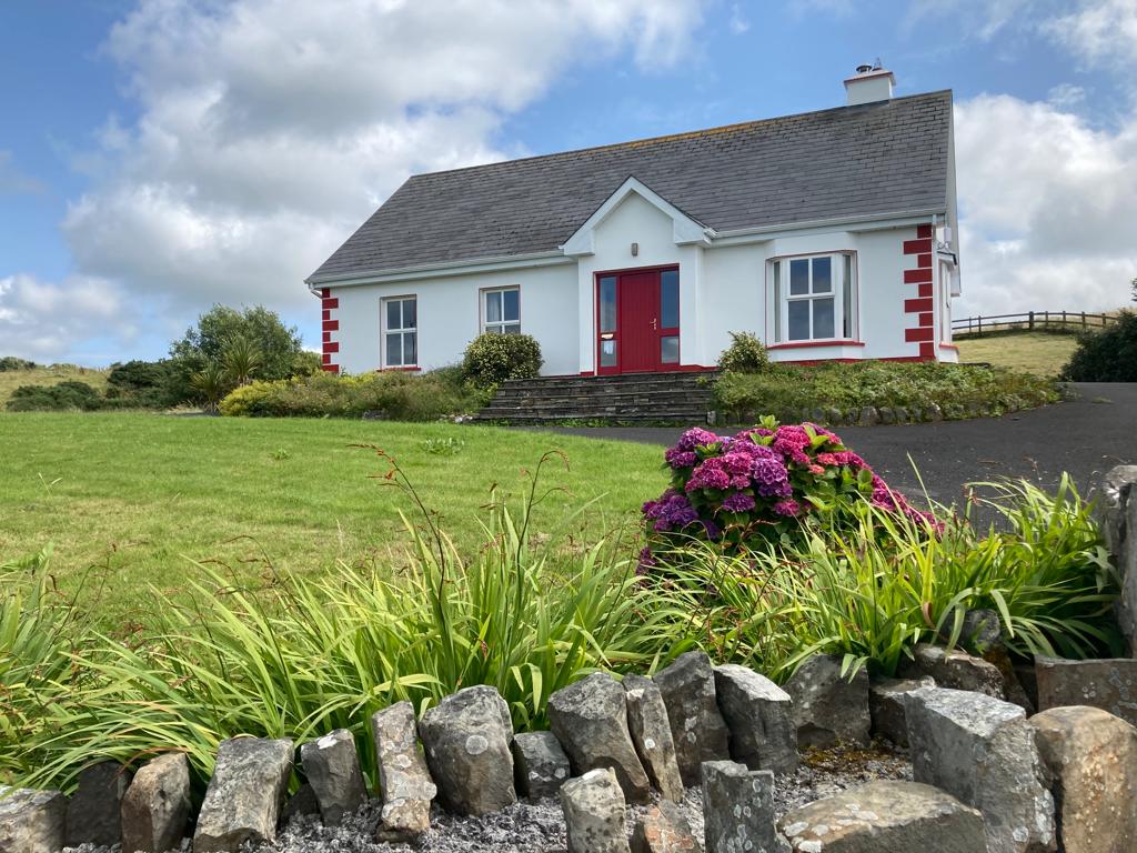 Enclosure in CullenaghEnclosure · 1158 yd
 Waterford & Suir Valley RailwayHeritage attraction · 1413 yd
 Settlement desertedSettlement deserted, medieval · 1416 yd
 CastleCastle, unclassified · 1.4 mi
 Sargent's magnoliaSargent's magnolia · 1.6 mi
 Sweet micheliaSweet michelia · 1.9 mi
 Site of CastleCastle, unclassified · 1.9 mi
 Mount Congreve GardensHeritage attraction · 2.2 mi
 Donnell's HillMountain / peak · 3.2 mi
 Croughaun HillMountain / peak · 7.6 mi