What is recorded here
Situated in pasture, on a slight S-facing slope, adjacent to a field fence running NNW-SSE. A horizontal watermill (WM036-020----) lies c. 70m to SW and a Clonlonan Castle (WM036-018----) stands c. 190m to W. Not depicted on OS maps. Monument described in 1977 as a large, flat limestone slab (L 1.15m; T 0.2-0.3m) with a circular-shaped depression (approx. diam. 0.4m; D 0.2m) on its upper surface. According to local information, a hollow in the field was used as a children's burial ground (WM036-019001-) to N of bullaun stone.
Compiled by Alison McQueen, Vera Rahilly and Caimin O’Brien.
Date of upload: 28 November 2019
The monument record does not grant public access. Check the route and ask the landowner before entering private land.
- What survives
- Recorded monument
Places near here
 Partially indicatedFairy fort / earthen ringfort · 867 yd
 Farnaghcountry house · 1401 yd
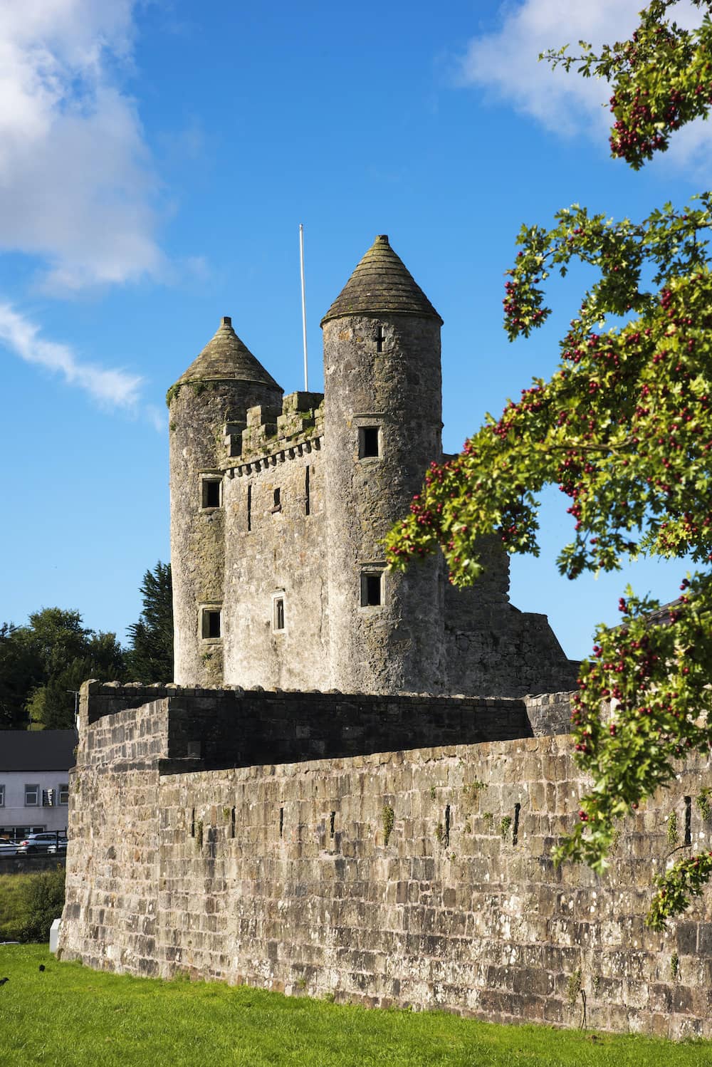 CastleCastle, tower house · 1530 yd
 Partially hachuredFairy fort / earthen ringfort · 1602 yd
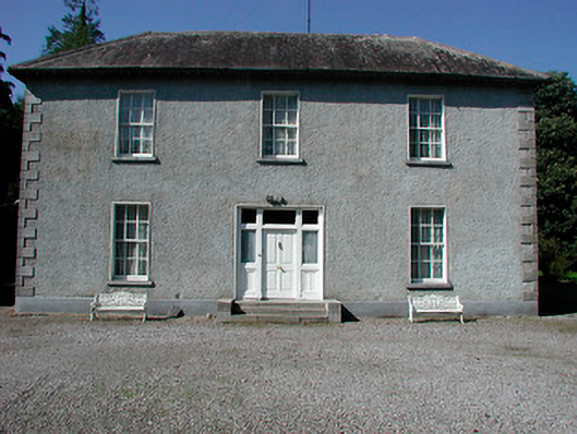 Baltrasna Househouse · 1.2 mi
 Cloghawareschal CastleCastle, unclassified · 1.5 mi
 Dún na SíMuseum · 1.7 mi
 Dún na Sí Heritage CentreMuseum · 1.7 mi
 Charles BianconiMemorial · 1.8 mi
 Moate HillMountain / peak · 1.9 mi
 European ashEuropean ash · 4.0 mi
 Roughan HillMountain / peak · 4.2 mi