What is recorded here
This bullaun stone lies to the NNW of the graveyard (GA006-12200-) and c. 3m to the W of a small stream.
It is visible in the N half of a subrectangular limestone slab (L 1.5m; Wth 0.8m; T 0.2m). The basin (0.35m E-W; 0.3m N-S; D 0.18m) is subcircular in plan and narrows towards the base (diam. 0.15m). A small fissure runs off it at NW.
Compiled by: Olive Alcock
Date of upload: 8 August 2019
The monument record does not grant public access. Check the route and ask the landowner before entering private land.
- What survives
- Recorded monument
Places near here
 St. Patricks ShrineShrine · 45 yd
 Church in ruinsChurch · 60 yd
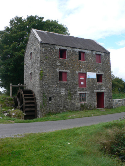 mill (water)mill (water) · 92 yd
 Enclosure in CastletogherEnclosure · 946 yd
 Castle (in ruins)Castle, unclassified · 951 yd
 Rook HillMountain / peak · 1200 yd
 Site of Ballyglass CastleCastle, unclassified · 1.9 mi
 Site of Killomaine Grave YardArchaeological place · 4.2 mi
 HawthornHawthorn · 8.5 mi
 Mount MaryMountain / peak · 9.3 mi
 Sally IslandIslet · 11 mi
 Aughrane WoodsForest · 12 mi