What is recorded here
At the E end of a low E-W ridge, c. 1 km W of Lough Forbes and the River Shannon, and outside the E edge of graveyard (RO024-016008-). A spherical sandstone boulder (diam. c. 0.6m) has a single basin (diam. 0.3m; D 0.2m) which has been damaged.
Compiled by: Michael Moore
Date of upload: 24 August 2010
The monument record does not grant public access. Check the route and ask the landowner before entering private land.
- What survives
- Recorded monument
Places near here
 Font in KilbarryFont · 23 yd
 St. Barry's WellSpring · 368 yd
 Long IslandIslet · 1000 yd
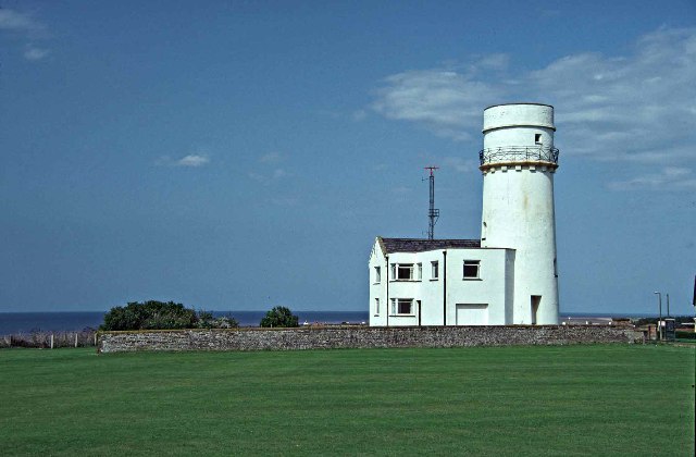 Embanked enclosureFairy fort / earthen ringfort · 1.1 mi
 Castle Forbeschurch/chapel · 1.4 mi
 CastleCastle, unclassified · 1.6 mi
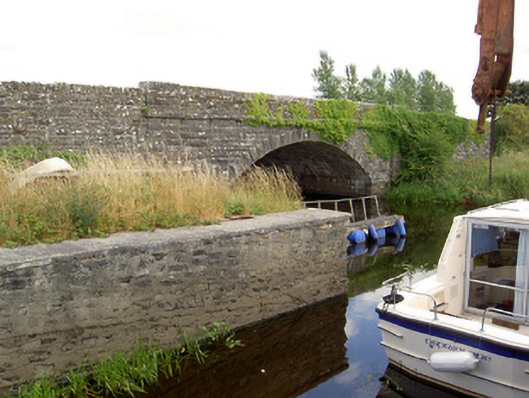 Cloonart Bridgebridge · 1.7 mi
 Bawn in Castleforbes DemesneBawn · 1.9 mi
 Lebanon CedarLebanon Cedar · 2.0 mi
 Rabbit IslandIslet · 3.4 mi
 First World War MemorialMemorial · 5.4 mi
 Saint Mel's CathedralCathedral · 5.4 mi