What is recorded here
Marked only on the 1940 ed. of the OS 6-inch map, and located on the SE side of a NE-SW minor road close to a junction with a road from the N. This is a rough boulder (diam. 0.9m; H 0.55m) with a subrectangular, round bottomed basin (dims. 0.23m x 0.22m; D 0.17m). There is a crude modern inscription on exterior and the letters JMAL can be deciphered.
The above description is derived from the published 'Archaeological Inventory of County Wexford' (Dublin: Stationery Office, 1996). In certain instances the entries have been revised and updated in the light of recent research.
Compiled by: Michael Moore
Date of upload/revision: 12 July 2012
Likely dating to the Bronze Age, this standing stone may have had ritual or territorial significance. Its name and form suggest possible connections to local folklore or ancient land divisions, though specific meanings remain unrecorded.
The monument record does not grant public access. Check the route and ask the landowner before entering private land.
- What survives
- Recorded monument
Places near here
 Scurlocksbush HillMountain / peak · 318 yd
 Fulacht fia in ScurlocksbushFulacht fia · 561 yd
 Fulacht fia in RoperstownFulacht fia · 787 yd
 Water millWater mill, horizontal-wheeled · 1700 yd
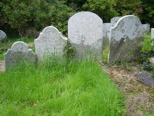 Edermine Church (Edermine)graveyard/cemetery · 1.0 mi
 Black Castle (in ruins)Castle, tower house · 1.7 mi
 King's IslandIsland · 1.8 mi
 Ballinkeel Castle (in ruins)Castle, unclassified · 2.0 mi
 National 1798 CentreMuseum · 3.9 mi
 Battle of Vinegar HillMajor battlefield · 4.2 mi
 Duffry GateMemorial · 4.3 mi
 U.N. Peace MemorialMonument · 4.4 mi