What is recorded here
Indicated on the 1938-9 ed. of the 'OS 6-inch' map. Large boulder with a circular, smooth, round bottomed artificial hollow (diam. 0.35m; D 0.17m) on exposed upper face. Suggestion that it may be on the site of a church (CLAJ 1910, 287).
Compiled by: Claire Breen
Date of upload: 6 March 2012
Likely dating to the early medieval period, the hollow may have functioned as a basin for ritual or ecclesiastical use, possibly linked to a nearby church site. Such features are sometimes associated with holy wells or baptismal practices in Irish tradition.
The monument record does not grant public access. Check the route and ask the landowner before entering private land.
- What survives
- Recorded monument
Places near here
 Saint James's Catholic Churchchurch/chapel · 428 yd
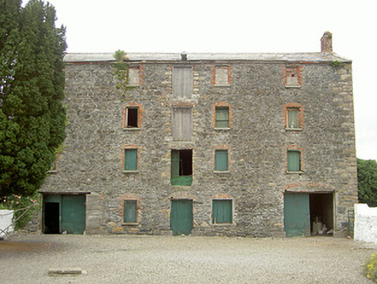 granarygranary · 447 yd
 Enclosure in Grange OldEnclosure · 1553 yd
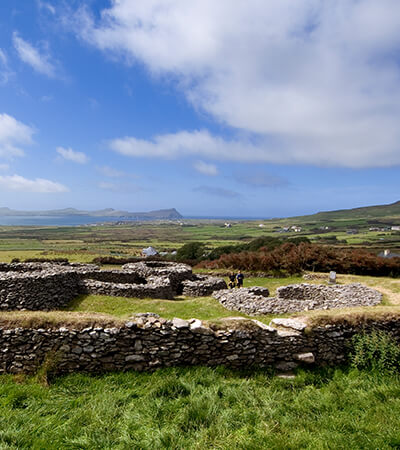 Fairy fort / earthen ringfort in MillgrangeFairy fort / earthen ringfort · 1637 yd
 Grange UpperMountain / peak · 1.1 mi
 The BushPicnic place · 1.1 mi
 Castle in RuinsCastle, unclassified · 1.4 mi
 St James WellSpring · 1.4 mi
 Ballug CastleCastle · 1.6 mi
 BarnavaveMountain / peak · 1.6 mi
 Carlingford - Loop 1A- Commons LoopWalking route · 1.9 mi
 Graveyard in Liberties OF CarlingfordGraveyard · 2.0 mi