
What is recorded here
Detached single-bay single-storey wireless station, built 1939, now disused. Pitched slate roof with chamfered concrete coping and cast-iron rainwater goods. Rendered walls with timber gable (north-east). Square-headed openings having timber fixed pane and blocked windows with concrete sills. Square-headed openings (north-east) with timber battened access panels. Square-headed door opening. Set on natural rock outcrop with concrete and rubble stone platform. Associated wireless antennae structures to site.
This wireless station was built by Guglielmo Marconi and Marconi’s Wireless Telegraph Co. Ltd, as part of an attempt to establish radio contact across the Atlantic Ocean. Combined with the associated wireless antennae to site, is a physical reminder of the efforts involved in establishing global communication networks in the first decades of the twentieth century.
This does not grant access. Most recorded buildings are privately owned; view them only from public ground unless the owner allows entry.
Places near here
 Mizen Bridgefoot bridge · 92 yd
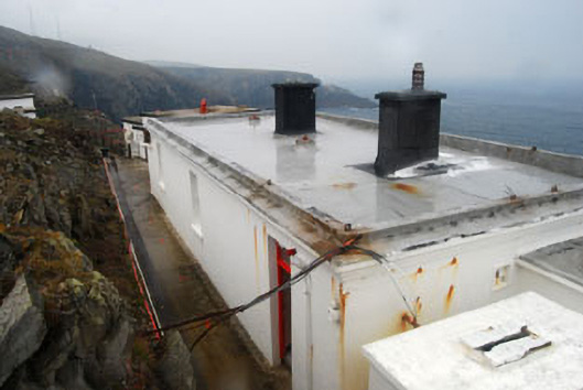 lighthouse keeper's houselighthouse keeper's house · 193 yd
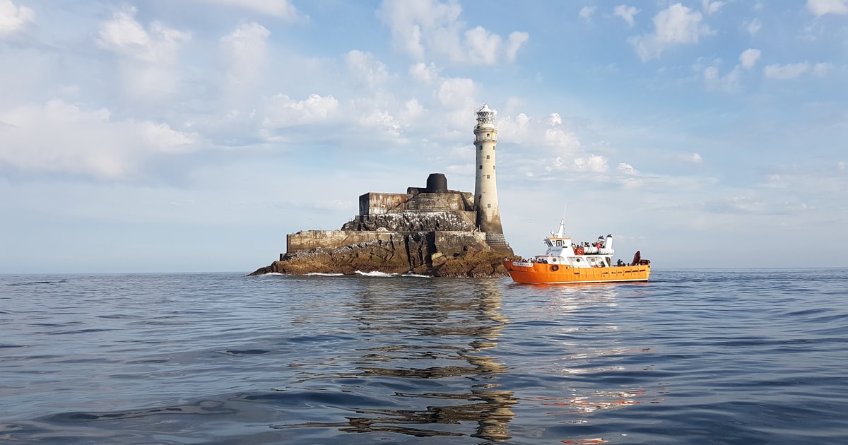 Fastnet Lighthouse Centenary Stone-CourseMemorial · 209 yd
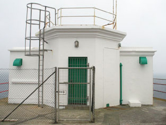 Mizen Head Signal Stationsignal tower · 222 yd
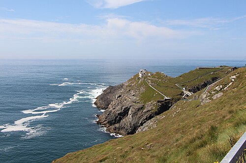 Mizen HeadHeadland · 242 yd
 Promontory fortPromontory fort, coastal · 773 yd
 Field boundary in Cloghane (carbery W. (w.d.) By.)Field boundary · 831 yd
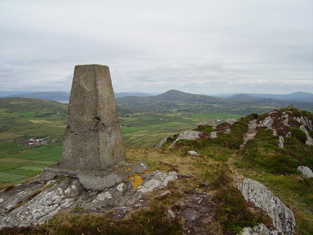 Mizen PeakMountain / peak · 1507 yd
 Three Castles (in Ruins)Castle, tower house · 2.2 mi
 Chimney CoveBeach / strand · 2.2 mi
 Castle (Site of)Castle, unclassified · 2.5 mi
 Creamery PlatformMemorial · 2.9 mi
Other information
Photo: National Inventory of Architectural Heritage · Website use allowed for educational or private purposes with source credit