What is recorded here
The Friends of Medieval Dublin Map (1978, O 13) shows the site of a waterhouse on the N side of Thomas Street near Crocker's Bar (Bradley & King 1987, II, 152). There is no visible surface trace.
Compiled by: Geraldine Stout
Date of upload: 23 November 2012
The monument record does not grant public access. Check the route and ask the landowner before entering private land.
- What survives
- Recorded monument
Places near here
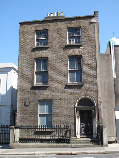 Guinness Breweryhouse · 12 yd
 Bridge in Unknown TownlandBridge · 33 yd
 European PearEuropean Pear · 39 yd
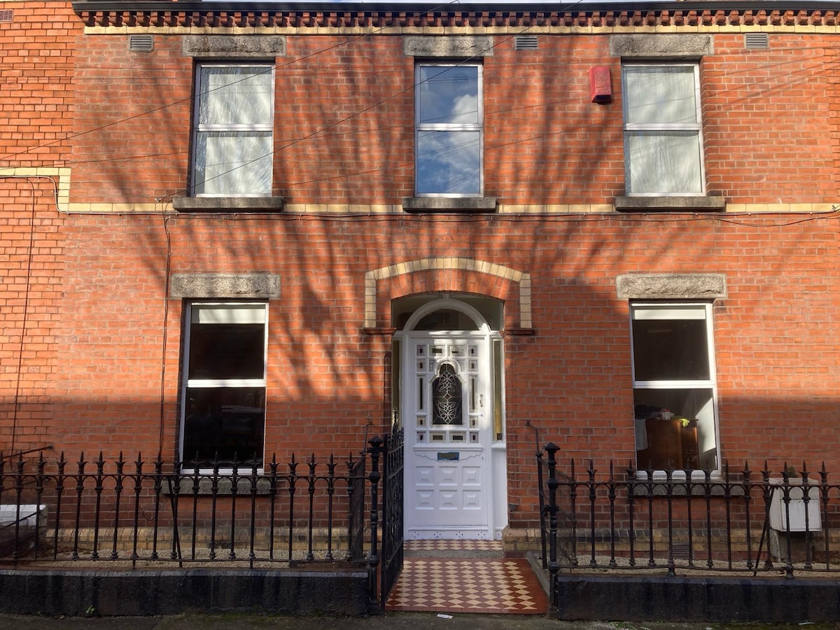 Habitation site in Unknown TownlandHabitation site · 82 yd
 Saint James' GateHeritage attraction · 168 yd
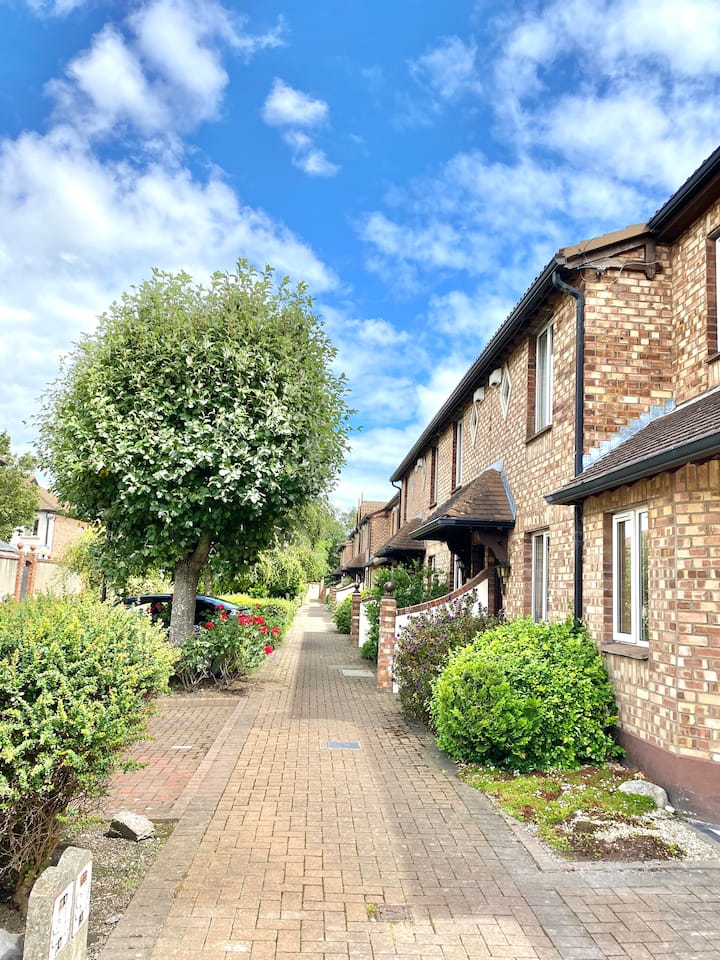 SteamBoxGallery · 283 yd
 Courthouse in Unknown TownlandCourthouse · 349 yd
 Croppies Acre MemorialMemorial · 482 yd
 CastleCastle, unclassified · 647 yd
 Graveyard in Unknown TownlandGraveyard · 688 yd
 Bus Route InformationVisitor information · 919 yd
 Gairdín Foirmiúil Ospidéal Ríoga Chill MhaighneannVisitor information · 1149 yd