
What is recorded here
This bridge was located at the junction of James Street and Thomas Street West. It crossed a stream that ran NE of the River Liffey. It is shown on the Friends of Medieval Dublin Map (1978) and mentioned by Bradley and King (1987, iii, 191, No. 22). No visible surface trace.
The monument record does not grant public access. Check the route and ask the landowner before entering private land.
- What survives
- Recorded monument
Places near here
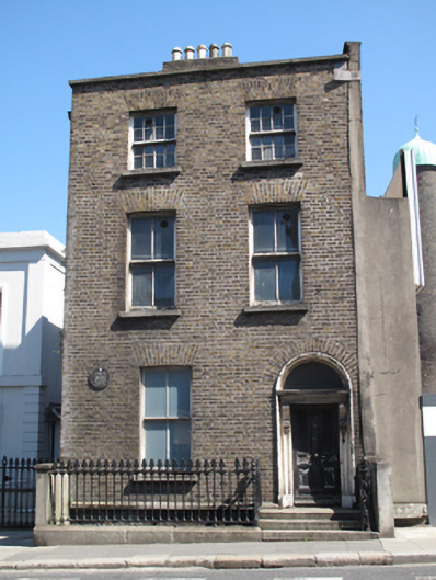 Guinness Breweryhouse · 23 yd
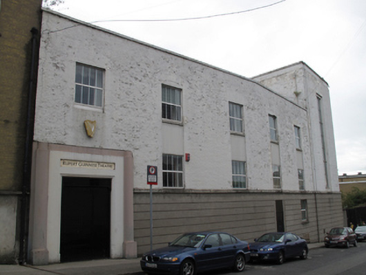 Rupert Guinness Theatre Guinness Brewerytheatre/opera house/concert hall · 44 yd
 European PearEuropean Pear · 71 yd
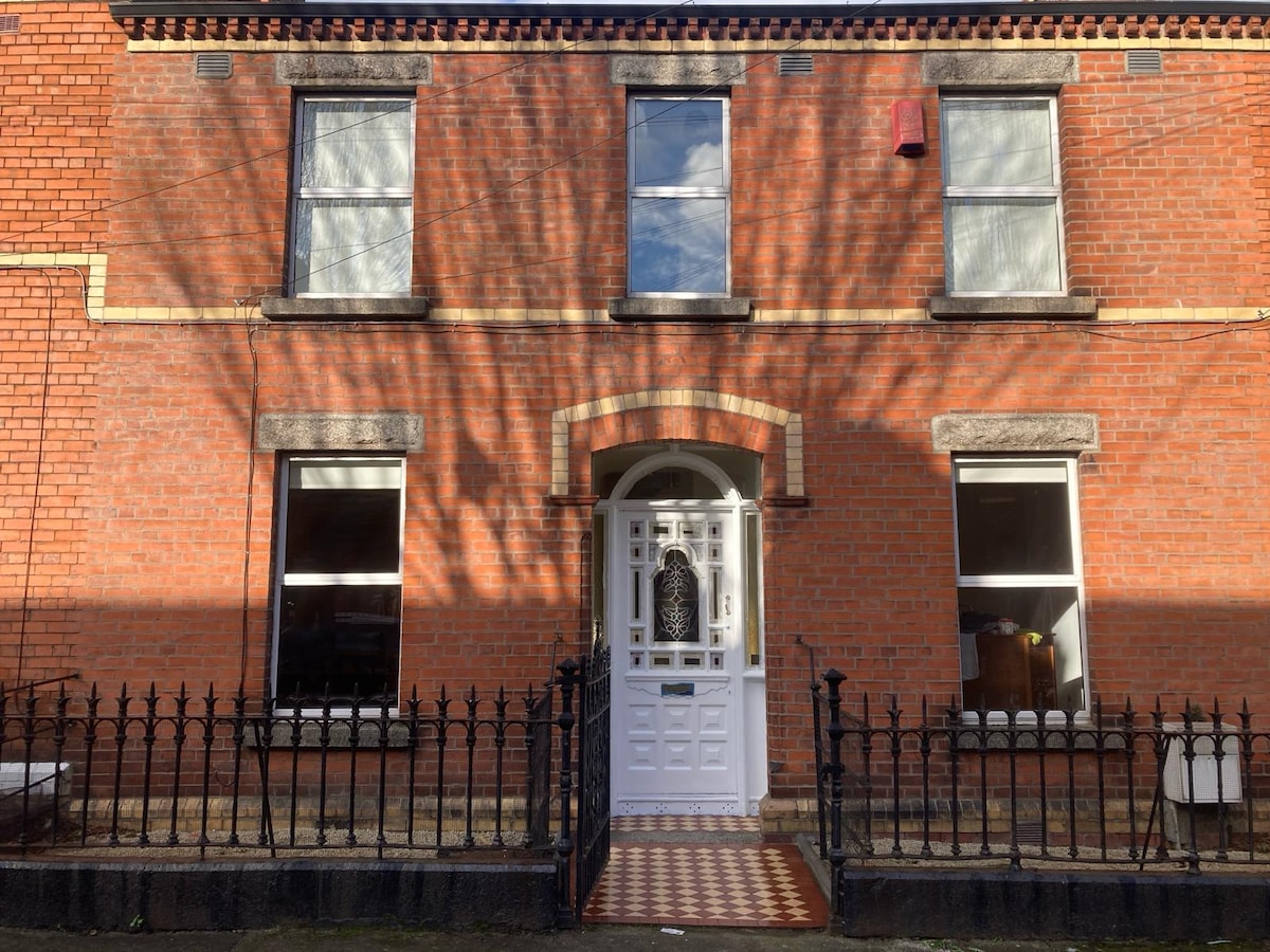 Habitation site in Unknown TownlandHabitation site · 105 yd
 Saint James' GateHeritage attraction · 166 yd
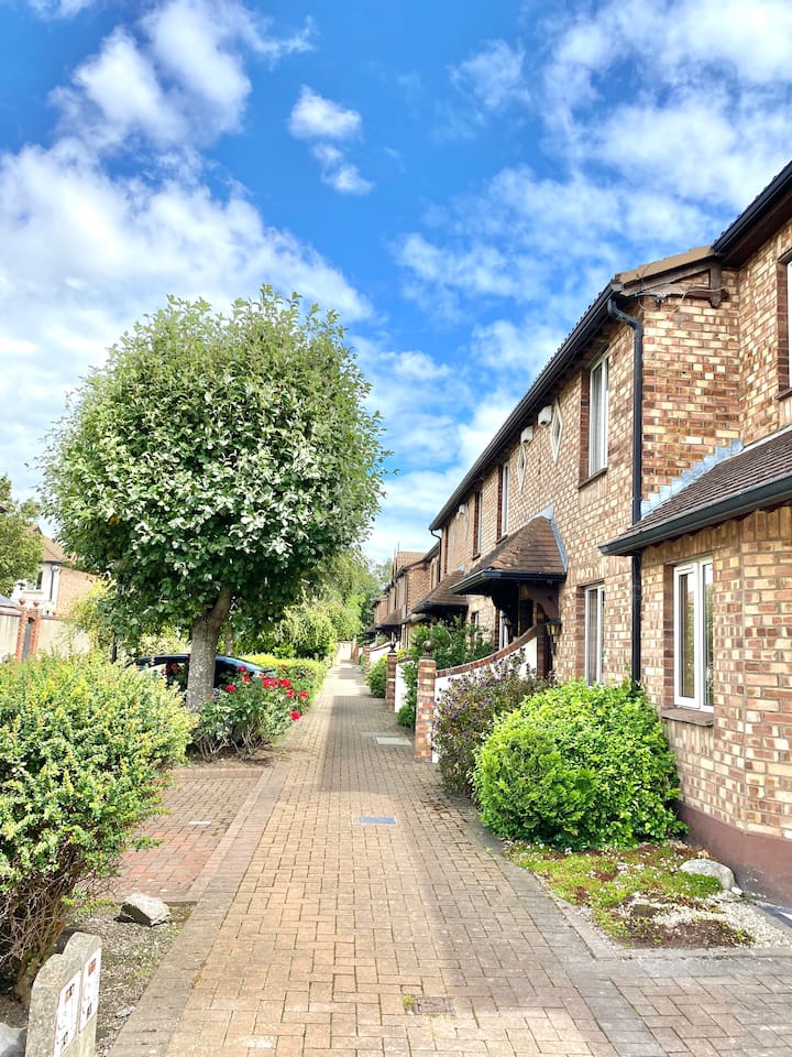 SteamBoxGallery · 290 yd
 Field system in Unknown TownlandField system · 347 yd
 Croppies Acre MemorialMemorial · 485 yd
 CastleCastle, unclassified · 649 yd
 Graveyard in Unknown TownlandGraveyard · 677 yd
 Bus Route InformationVisitor information · 887 yd
 Gairdín Foirmiúil Ospidéal Ríoga Chill MhaighneannVisitor information · 1117 yd
Other information
Photo: Credit not shown in the picture search · Rights wording not checked; contact us if this picture should be removed